Weather report
Partly cloudy
-9° / -1° CAmount of snow
On the mountains:
82 cm
at 1,200 m:
27 cm
Mountain lift facilities
24 out of 28 in operation
Alpine ski slopes
26 out of 29 open
Hiking Trail
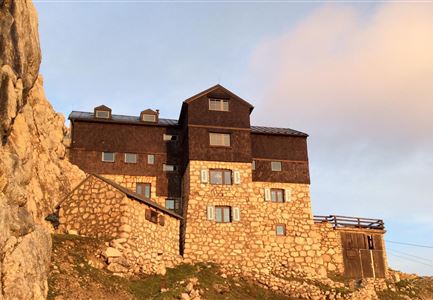
Route: Karwendelhaus - Schlauchkarsattel - Birkkarspitze - Hinterautal - Kastenalm
Directions:
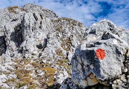
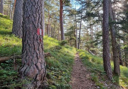
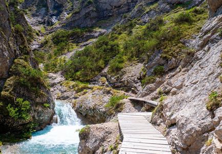
Next to the Karwendelhaus begins the marked trail to the Birkkarspitze, which is initially quite steep and in places rope-secured in the rocky terrain through mountain pines and avalanche barriers up. Somewhat less steep, the route then heads in a southeasterly direction into the seemingly endless Schlauchkar. The route leads past the junction to the Hochalmkreuz (left) and the junction to the Brendelsteig (right). Here you keep the direction and climb somewhat laboriously - partly in rocky terrain and in unpleasant scree - up through the cirque. The cairns also provide orientation here. The path becomes increasingly steep, the last section to the Schlauchkar saddle runs in a southwesterly direction.
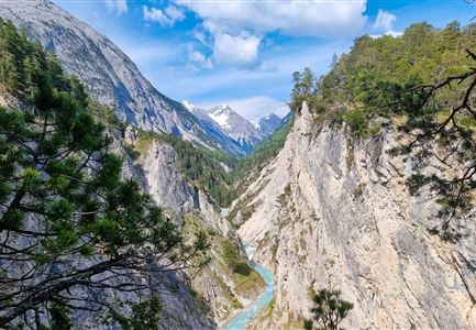
In this area, a hard snow field must be crossed most of the time, it is best to follow the footprints. From the Schlauchkar saddle (2,639 meters) then past the Birkkar hut (emergency shelter) and over the rope-secured climb in easy scrambling along the west ridge over to the summit of the Birkkarspitze (2,749 meters) with the cross. From the summit back to the Schlauchkar saddle and down to the south. First, the route descends steeply through boulders, in places secured by ropes, into the western Birkkar. Here continue on a good path - often through scree fields, in sections again quite steep. Finally, on the orographic left side of the Birkkarbach, the path goes fairly straight down into the Hinterautal valley to the forest road. Enter along the valley floor and keep going in the direction of the Kastenalm. Follow the road until you reach the Kastenalm.
Alpine emergency call:
Call: 140