We use cookies for your personalized browsing experience, to personalize content and ads, to provide social media features, and to analyze traffic to our website. We also share information about your use of our website with our social media, advertising and analytics partners. Our partners may combine this information with other data that you have provided to them or that they have collected as part of your use of the Services. (incl. US providers)
Start Point

Seefeld lake promenade Wildsee

End Point

Seefeld lake promenade Wildsee

Difficulty

Easy

Total Distance

8,20 km

Descent Meters

200 m

Highest Point

1187 m

Total Time

02:30 h

Map & Elevation Profile

Start Point

Seefeld lake promenade Wildsee

End Point

Seefeld lake promenade Wildsee

Difficulty

Easy

Total Distance

8,20 km

Descent Meters

200 m

Highest Point

1187 m

Total Time

02:30 h

Hiking

Best Time

Jan

Feb

Mar

Apr

May

Jun

Jul

Aug

Sep

Oct

Nov

Dec

Hiking tour

Family hike

Route: Seefeld lake promenade Wildsee - Auland - Hochleithenkopf - Auland - Seefeld lake promenade Wildsee

Parking and public transport:

P3 "Fiakerparkplatz"

By train to Seefeld train station. (5 minutes walk to the starting point).

You can find all connections in real time with the Mobility-App "wegfinder".

Directions:

Follow the lake promenade through the forest, at the fork turn right over the Mähder down to Auland. Continue on the road to Mühlberg and from there to the Hochleithenkopf viewpoint. Return along the same route.

Alpine emergency call:

Call: 140

Features & Characteristics

Start Point

Seefeld lake promenade Wildsee

End Point

Seefeld lake promenade Wildsee

Family hike

Yes

Similar Tour Suggestions

Brunschkopf Panorama

Hiking

Brunschkopf viewing platform via Geiernest from Seefeld, return via Wildmoosalm

Length

9,20 km

Duration

03:00 h

Uphill

325 hm

Altitude

1493 hm

Difficulty

Medium

Geoweg - Blick von der Härmelekopfbahn - Seefeld.jpg

Hiking

Geological Nature Trail 'Hermannstal'

Length

4,80 km

Duration

02:30 h

Uphill

548 hm

Downhill

10 hm

Altitude

1750 hm

Difficulty

Medium

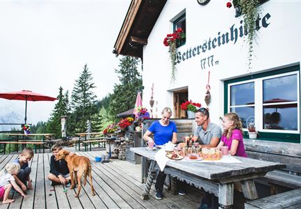
Wettersteinhütte -Familientag in Leutasch im Somme

Hiking

Hike to the Wettersteinhütte alpine hut - Wang alpine hut

Length

7,30 km

Duration

04:00 h

Uphill

566 hm

Altitude

1717 hm

Difficulty

Medium

Brunnsteinhütte

Hiking

Hike to the Brunnsteinhütte

Length

6,30 km

Duration

04:00 h

Uphill

588 hm

Altitude

1523 hm

Difficulty

Medium

Oberbrunnalm_Weide

Hiking

Circular hike over Zäunlkopf & Oberbrunnalm alpine hut

Length

15,20 km

Duration

06:00 h

Uphill

794 hm

Downhill

789 hm

Altitude

1743 hm

Difficulty

Medium

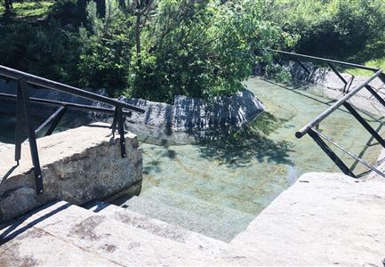
Kneippanlage beim Wildsee - Seefeld (2).jpg

Hiking

Kneipp facility & reflection walk in Seefeld

Length

7,60 km

Duration

02:00 h

Uphill

36 hm

Downhill

32 hm

Altitude

1250 hm

Difficulty

Easy

Nützlingslehrpfad

Hiking

Hiking bee trail

Length

2,50 km

Duration

01:00 h

Uphill

72 hm

Altitude

1185 hm

Difficulty

Easy

Gaistalalm im Herbst - Leutasch

Hiking

Hike to the Gaistalalm & Tillfussalm alpine hut

Length

9,70 km

Duration

03:00 h

Uphill

244 hm

Altitude

1404 hm

Difficulty

Easy