Vai al contenuto

Indirizzo e contatto

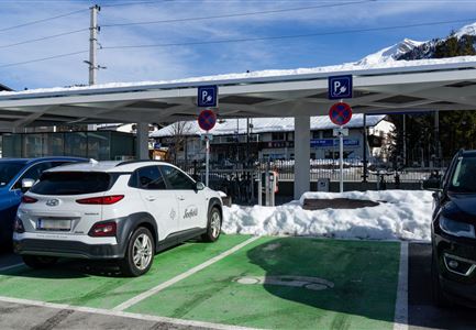
Parkplatz gegenüber der Feuerwehr

Località:

Römerstraße 70, 6103 Reith bei Seefeld

Parcheggio & garage

Parcheggi all'aperto - a pagamento

Tour collegati

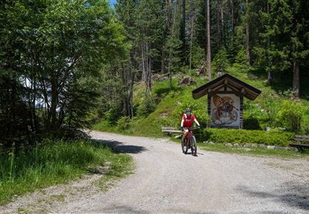
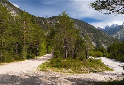
Scharnitz - Wanderung Dorfrunde - Weg bei Gießenbach (1).jpg

Ciclismo

Radwanderroute: Reith - Seefeld - Scharnitz

Distanza totale

18,50 km

Durata totale

01:45 h

Salita in metri

140 hm

Discesa in metri

320 hm

Punto più alto

1200 hm

Difficoltà

Facile

Ebiken

Ciclismo

Biketour Nr. 588 Reith-Eigenhofen

Distanza totale

5,70 km

Durata totale

00:30 h

Salita in metri

6 hm

Discesa in metri

528 hm

Punto più alto

1123 hm

Difficoltà

Difficile

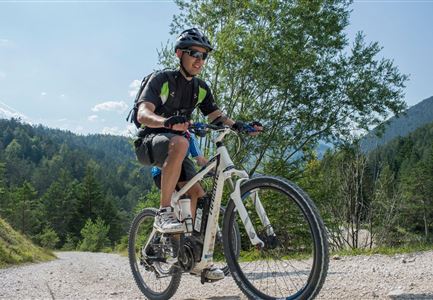
Reitherjoch-Alm (c) Anna Rieder

Ciclismo

Biketour Nr. 5032 Reitherjoch Alm

Distanza totale

12,60 km

Durata totale

02:00 h

Salita in metri

372 hm

Discesa in metri

368 hm

Punto più alto

1495 hm

Difficoltà

Medio

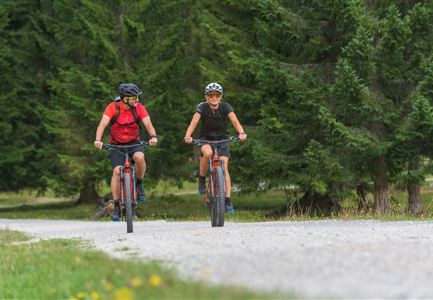
Symbolbild Biken

Ciclismo

Biketour Nr. 5049 Reith-Kaiserstandrunde

Distanza totale

6,60 km

Durata totale

01:10 h

Salita in metri

254 hm

Discesa in metri

252 hm

Punto più alto

1318 hm

Difficoltà

Difficile

Kulturwanderweg Reith im Sommer_Pfarrkirche Reith.jpg

Escursionismo

Kulturwanderweg Reith

Distanza totale

7,29 km

Durata totale

02:00 h

Salita in metri

140 hm

Punto più alto

1150 hm

Difficoltà

Facile

Altre strutture