Moeilijkheid

Makkelijk

Totale afstand

5,00 km

HM Bergop

50 m

HM Bergaf

50 m

Hoogste punt

1160 m

Totale tijd

01:30 h

Kaart & Hoogteprofiel

Moeilijkheid

Makkelijk

Totale afstand

5,00 km

HM Bergop

50 m

HM Bergaf

50 m

Hoogste punt

1160 m

Totale tijd

01:30 h

Wandelen

Beste seizoen

Jan

Feb

Mar

Apr

Mei

Jun

Jul

Aug

Sep

Okt

Nov

Dec

Wander- & Bergtour

Dorfrunden

Vergelijkbare tochten

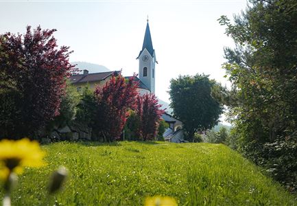
Kulturwanderweg Reith im Sommer_Pfarrkirche Reith.jpg

Wandelen

Cultural Hiking Trail Reith

Totale afstand

7,29 km

Totale tijd

02:00 h

Stijging in hoogtemeters

140 hm

Hoogste punt

1150 hm

Moeilijkheidsgraad

Makkelijk

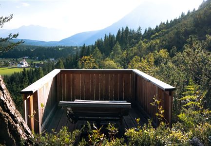
Höhenweg Leutasch_Aussichtsplattform Höhenweg.jpg

Wandelen

Circular hike to the viewing platform on the Höhenweg - Runst

Totale afstand

7,40 km

Totale tijd

02:00 h

Stijging in hoogtemeters

128 hm

Hoogste punt

1156 hm

Moeilijkheidsgraad

Makkelijk

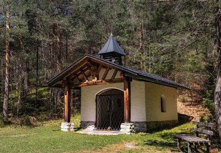
Scharnitz - Wanderung zur Birzlkapelle - Kapelle mit Pausenbank.jpg

Wandelen

Hike to the Birzlkapelle chapel

Totale afstand

4,60 km

Totale tijd

01:30 h

Stijging in hoogtemeters

175 hm

Hoogste punt

1130 hm

Moeilijkheidsgraad

Makkelijk

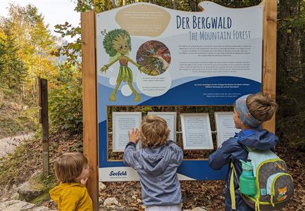
kinder_bei_infotafel_in_der_geisterklamm.jpg

Wandelen

Short circular trail at the Spirit Gorge

Totale afstand

500 m

Totale tijd

00:15 h

Stijging in hoogtemeters

10 hm

Hoogste punt

1027 hm

Moeilijkheidsgraad

Makkelijk

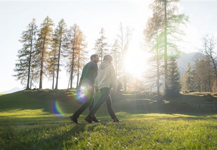
Herbstwanderung am Oberen Wiesenweg_Paar läuft entlang von Wiese_Aufnahme gegen die Sonne mit Lärchen im Hintergrund.jpg

Wandelen

Circular hiking traill Oberer & Unterer Wiesenweg

Totale afstand

6,10 km

Totale tijd

02:00 h

Stijging in hoogtemeters

64 hm

Hoogste punt

1194 hm

Moeilijkheidsgraad

Makkelijk

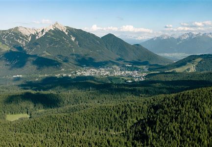
Blick ueber Wildmoos nach Seefeld.jpg

Wandelen

Circular tour around the Brunschkopf

Totale afstand

13,10 km

Totale tijd

04:00 h

Stijging in hoogtemeters

275 hm

Daling in hoogtemeters

272 hm

Hoogste punt

1369 hm

Moeilijkheidsgraad

Makkelijk

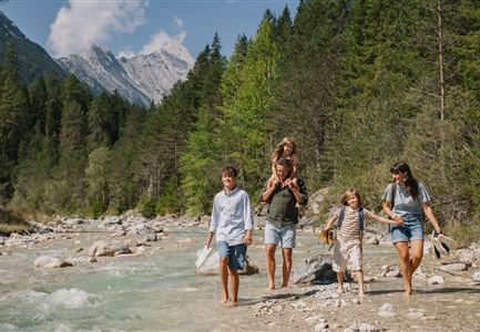
Familie in der Region Seefeld - Leutascher Ache.jpg

Wandelen

Hike along the Achweg

Totale afstand

10,80 km

Totale tijd

03:00 h

Stijging in hoogtemeters

70 hm

Daling in hoogtemeters

78 hm

Hoogste punt

1170 hm

Moeilijkheidsgraad

Makkelijk

Deeltijds geopend
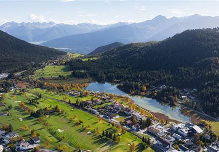
Wildsee im Herbst - Drohnenaufnahme - Blick auf Golfplatz und See mit Bergpanorama.jpg

Wandelen

Circular hike from Seefeld to Auland & Reith

Totale afstand

9,30 km

Totale tijd

02:45 h

Stijging in hoogtemeters

139 hm

Daling in hoogtemeters

141 hm

Hoogste punt

1199 hm

Moeilijkheidsgraad

Makkelijk