Start Point

Parkplatz Geisterklamm (P19)

End Point

Parkplatz Geisterklamm (P19)

Difficulty

Easy

Total Distance

500 m

Descent Meters

10 m

Ascent Meters

10 m

Status

Closed

Start Point

Parkplatz Geisterklamm (P19)

End Point

Parkplatz Geisterklamm (P19)

Difficulty

Easy

Total Distance

500 m

Descent Meters

10 m

Ascent Meters

10 m

Status

Closed

Hiking

Best Time

Closed

Jan

Feb

Mar

Apr

May

Jun

Jul

Aug

Sep

Oct

Nov

Dec

Hiking

Hiking tour

+3

Attention: The Short Gorge Trail is currently still closed!

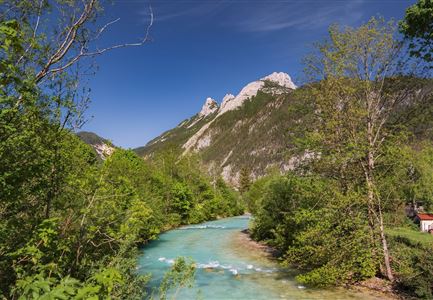
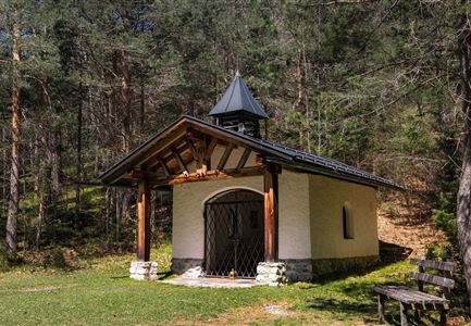
Route: Leutascher Geisterklamm car park (P19) - Klammstüberl - view on the Ache - Klammstüberl - Leutascher Geisterklamm car park.

Parking and public connections:

P19 "Leutascher Geisterklamm".

Take the train to Seefeld station and continue by bus to the "Leutasch Geisterklamm" stop.

Find all connections in real time with the mobility app "wegfinder".

Directions:

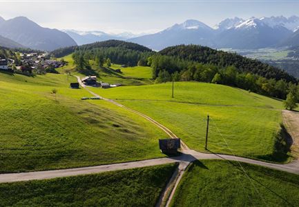
From the Geisterklamm car park (P19) in the Leutasch district of Schanz past the Leutascher Klammstüberl, from here follow the path straight on. After approx. 200m, follow a fork down to the left in the direction of the Ache. Once at the bottom, the short circular route leads back to the Klammstüberl. 

Alpine emergency call & mountain rescue:

Tel.: 140

Features & Characteristics

Start Point

Parkplatz Geisterklamm (P19)

End Point

Parkplatz Geisterklamm (P19)

Family hike

Yes

Loop tour

Yes

Map & Elevation Profile

Similar Tour Suggestions

Hiking

Circular hiking traill Oberer & Unterer Wiesenweg

Length

4,3 km

Duration

01:15 h

Uphill

54 hm

Altitude

1193 hm

Difficulty

Easy

Hiking

Eagle Walk Stage 08: Maurach - Lamsenjochhütte

Length

17,0 km

Duration

05:00 h

Uphill

1030 hm

Altitude

1950 hm

Difficulty

Medium

Hiking

Circular hiking traill Wiesenweg

Length

4,6 km

Duration

01:30 h

Uphill

109 hm

Altitude

1128 hm

Difficulty

Easy

Hiking

Hike to the Solsteinhaus

Length

22,7 km

Duration

06:00 h

Uphill

1045 hm

Altitude

1798 hm

Difficulty

Medium

Hiking

Hike to the Wettersteinhütte alpine hut - Wang alpine hut

Length

7,3 km

Duration

04:00 h

Uphill

566 hm

Altitude

1717 hm

Difficulty

Medium

Hiking

Karwendelmarsch 52 km

Length

52,0 km

Duration

19:00 h

Uphill

2281 hm

Downhill

2217 hm

Altitude

1903 hm

Difficulty

Hard

Hiking

Circular walking path from Seefeld to the lake Möserer See

Length

8,8 km

Duration

02:30 h

Uphill

231 hm

Altitude

1297 hm

Difficulty

Easy

Hiking

Eagle Walk Stage 12: Hallerangerhaus - Pfeis hut - Hafelekar - Nordkette Innsbruck

Length

13,0 km

Duration

05:30 h

Uphill

1150 hm

Altitude

2280 hm

Difficulty

Hard