Start Point
Parking P12 "Klamm"
End Point
Parking P12 "Klamm"
Difficulty
Easy
Total Distance
10,80 km
Descent Meters
70 m
Ascent Meters
78 m
Highest Point
1170 m
Total Time
03:00 h
Hiking
Best Time
Jan
Feb
Mar
Apr
May
Jun
Jul
Aug
Sep
Oct
Nov
Dec
Hiking tour
Valley walking and hiking trails
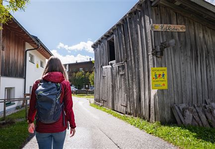
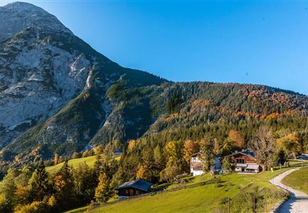
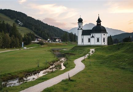
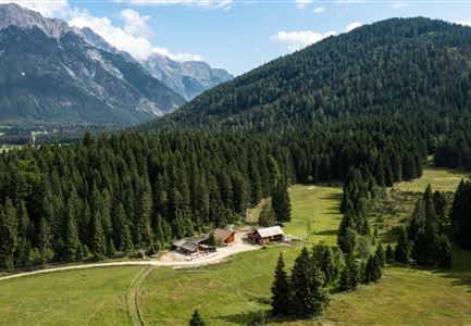
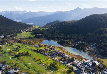
The hike along the Achweg promises a true nature experience in the idyllic Leutasch Valley. Following the Leutascher Ache, the trail leads through charming hamlets and offers impressive mountain views.
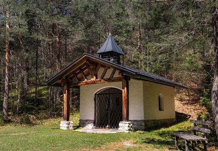
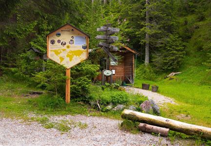
The starting point for this hike is the P12 parking area in the Klamm district. From there, the trail follows the Achweg along the Leutascher Ache. The route passes through the scenic landscape of Oberleutasch and leads through the districts of Obern, Plaik, Platzl, Aue and Kirchplatzl, eventually reaching the center of Leutasch Valley in Weidach.
From Weidach, you can take a connecting path to reach the Gasse district and then Ahrn, or you can continue hiking all the way to Unterleutasch. For the way back, you can take bus 431 to return to the starting point, or you can simply hike back along the same path.
Features & Characteristics
Start Point
Parking P12 "Klamm"
End Point
Parking P12 "Klamm"
Family-friendly
Yes
Stroller-friendly
Yes
