Address & Contact

Parkplatz Ried P1

Town:

Nördl. Ortsausgang , 6108 Scharnitz

Parking lot & parking garage

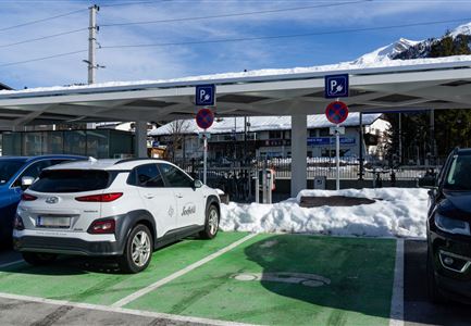
The paid parking lot "Ried" is one of the numerous parking spaces in Scharnitz, which offer an ideal starting point for hikes in the Karwendel valleys.

RATES

  • 3 hours                     €  3.-
  • 1/2 day (from 12:00 PM)  €  4.-
  • 1 day                           €  6.- 
  • up to 3 days                    € 12.-
  • up to 9 days                   € 18.-

NOTE: The parking meter does not provide change. Please bring the correct change! Payment by credit card is possible.
Connected Tours

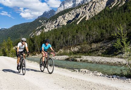
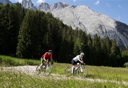
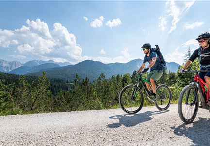
Gravelbiker auf dem Radweg zwischen Mittenwald und Scharnitz im Sommer

Cycling

Biketour Scharnitz - Mittenwald (Bayern) - Scharnitz

Length

15,10 km

Duration

01:45 h

Uphill

48 hm

Downhill

52 hm

Altitude

963 hm

Difficulty

Easy

Hohe Gleirsch_2.jpg

Hiking

Bike & Hike Hoher Gleirsch, 2.492 m

Length

31,00 km

Duration

09:30 h

Uphill

1772 hm

Altitude

2492 hm

Difficulty

Hard

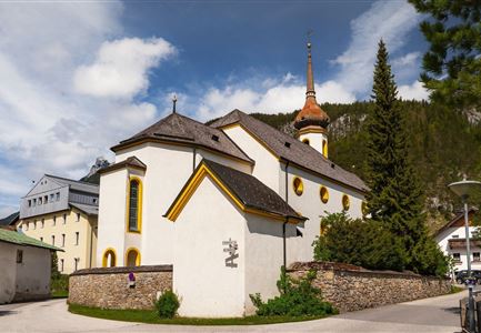
Scharnitz - Wanderung Dorfrunde - Kirche in Scharnitz.jpg

Hiking

Kulturwanderweg Scharnitz

Length

3,00 km

Duration

01:00 h

Uphill

53 hm

Altitude

1005 hm

Difficulty

Easy

Wanderung-auf-die-Birkkarspitze---Scharnitz-(84).jpg

Hiking

Bike & Hike Birkkarspitze, 2.749 m

Length

41,00 km

Duration

09:00 h

Uphill

1800 hm

Altitude

2749 hm

Difficulty

Hard

Gravelbike - an der türkisblauen Isar.jpg

Hiking

Bike & Hike Hallerangerhaus-Hallerangeralm

Length

38,00 km

Duration

06:00 h

Uphill

832 hm

Altitude

1768 hm

Difficulty

Medium

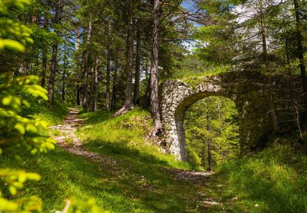
Porta Claudia Scharnitz - Tor mit Weg.jpg

Hiking

Rundwanderung Porta Claudia

Length

2,50 km

Duration

01:00 h

Uphill

125 hm

Downhill

120 hm

Altitude

1085 hm

Difficulty

Easy

Gipfel Grosse Arnspitze - Scharnitz

Hiking

Bergtour zur Großen Arnspitze, 2.196 m

Length

9,00 km

Duration

07:30 h

Uphill

1247 hm

Altitude

2196 hm

Difficulty

Hard

Brunnsteinspitze mit Gipfelkreuz - Scharnitz (4).jpg

Hiking

Bergtour zur Brunnsteinspitze, 2.180 m

Length

13,00 km

Duration

08:30 h

Uphill

1368 hm

Altitude

2180 hm

Difficulty

Hard

Brunnsteinhütte

Hiking

Wanderung zur Brunnsteinhütte

Length

10,00 km

Duration

04:30 h

Uphill

668 hm

Altitude

1523 hm

Difficulty

Medium

Sonnenaufgang im Karwendel_Speckkarspitze

Hiking

Bike & Hike Speckkarspitze, 2.621 m

Length

44,00 km

Duration

11:00 h

Uphill

1794 hm

Altitude

2621 hm

Difficulty

Hard

Gravelbiken in der Region Seefeld (3).jpg

Cycling

Radwanderroute: Scharnitz - Seefeld - Reith

Length

18,50 km

Duration

01:45 h

Uphill

320 hm

Downhill

140 hm

Altitude

1200 hm

Difficulty

Easy

Hallerangeralm

Hiking

Bike & Hike Sunntigerspitze, 2.321 m

Length

42,00 km

Duration

09:00 h

Uphill

1396 hm

Altitude

2321 hm

Difficulty

Medium

Bike Tour durchs Karwendeltal aufs Karwendelhaus - Scharnitz (13).jpg

Hiking

Bike & Hike Kristenalm

Length

25,00 km

Duration

04:00 h

Uphill

420 hm

Altitude

1249 hm

Difficulty

Medium

Similar Infrastructures