


Pure idyll in the alpine high valley
Vacation in Leutasch
Stretching proudly at 1,136 meters, the Leutascher Hochtal impressively spans 16 kilometers through the Alps, south of the Zugspitze – open to everything the heart desires.
The lush landscape is original and absolutely unique in Tyrol: Hiking trails through deep green forests and lush alpine meadows, extensive (E-)bike paths along the turquoise Leutascher Ache, interspersed with wild streams, climbing areas, and crystal-clear lakes, flanked by rustic huts and the imposing Wetterstein mountain range. There is plenty of room to enjoy here: Majestically, the Hohe Munde looks over the vast mountain world and its precious natural treasures – from the Alpen paradise Gaistal to the spectacular Geisterklamm.
Hello and welcome to Tyrol's high plateau and to Leutasch!

Short & Sweet
Did you know that …
- ... Leutasch is located at an altitude of 1,136 meters?
- ... the 16-kilometer-long high valley has only 2,472 inhabitants?
- ... the municipality consists of 25 districts, known as hamlets, and offers a total of 3,821 cozy guest beds?
- ... the valley has its own fiber optic network for lightning-fast internet?
- ... there are two parish churches and a total of 22 small chapels?
- ... the area is still characterized by many small, traditional farms?
- ... nature in Leutasch astonishes with an incredible diversity of species?
- ... the lush alpine meadows here even bear colorful blossoms until the end of June?
- ... you can still admire real humpback meadows in the Leutascher Almenparadies Gaistal – a typical postglacial landscape form that has been leveled in many places for more profitable farming?
- ... in the Leutascher Geisterklamm you can still see the grooving marks of the powerful Ice Age glacier?
- ... Leutasch is a certified hiking village in Austria's hiking villages?

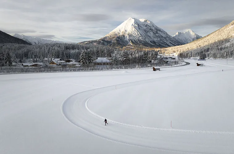


360° Tour through the Seefeld Region


Webcams

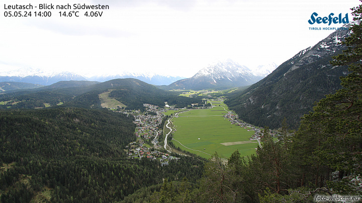

Image gallery


Arrive Easily
Arrival
Easily and conveniently arrive in the Seefeld region by car or by public transport such as bus or train.
Select Preferred Mode of Transportation


Train Route