

Indescribably beautiful – Surprisingly charming
Vacation in Reith
Sun balcony high above the Inn Valley
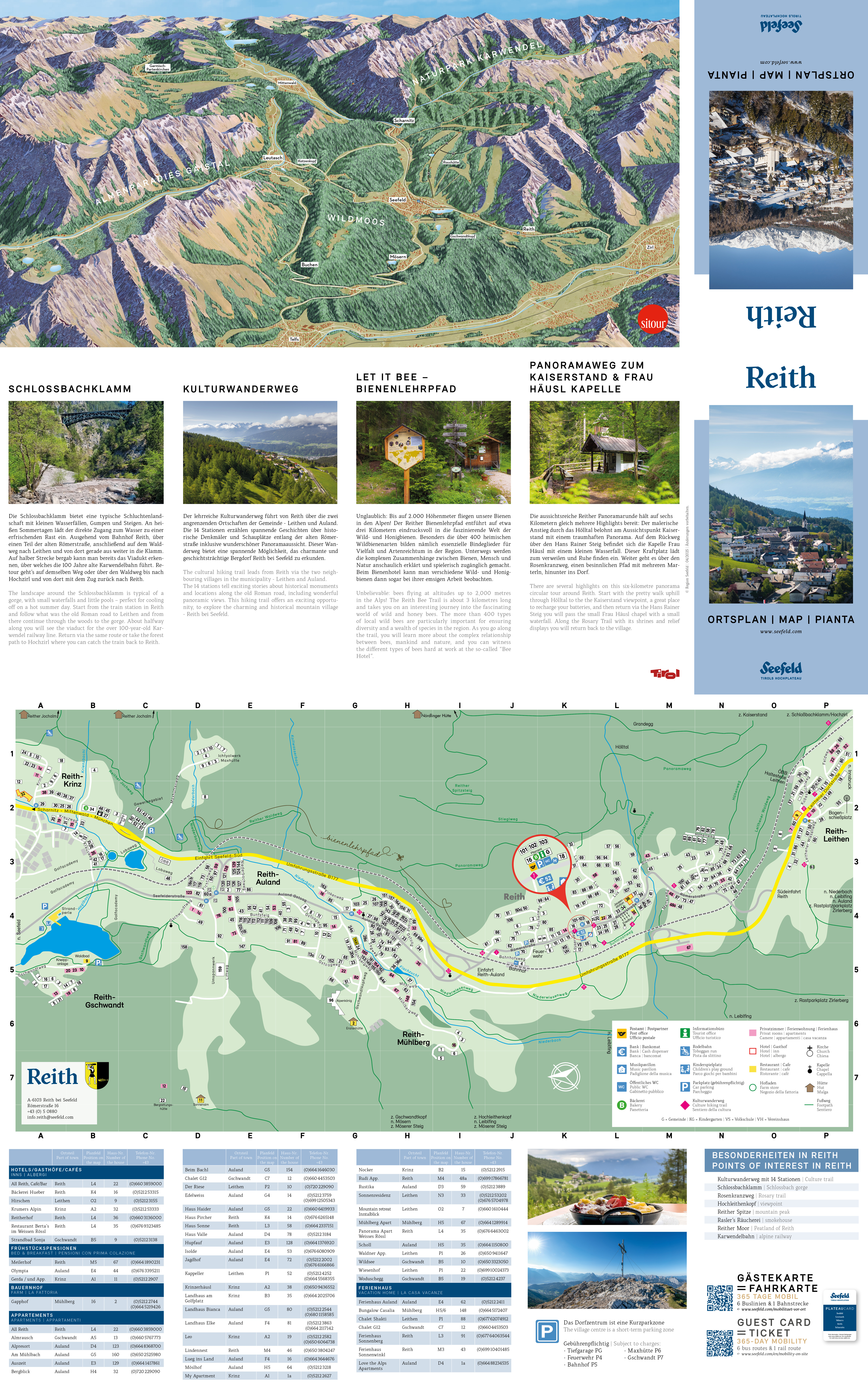
The cozy mountain village of Reith is located at 1,130 meters above sea level in the southeast of the Seefeld region, directly on the old Roman road at the foot of the mighty Reither Spitze. The spectacular Karwendelbahn connects this idyllic oasis of tranquility with Seefeld, Scharnitz, and the state capital Innsbruck in just a few minutes. Around Reith, a panorama, a cultural, and a wild bee trail invite exploration and discovery, while Reither Spitze and Nördlinger Hütte also offer beautiful hiking trails in the Karwendel Nature Park.
Welcome to Tyrol's high plateau and a warm welcome to Reith!

Short & Sweet
Did you know that ...
- … the small mountain village of Reith with its hamlet Leithen has only 1,454 inhabitants? (01.01.2022)
- … the panoramic location at the foot of the Reither Spitze is at an elevation of 1,130 meters?
- … the municipality offers a total of 986 cozy guest beds?
- … the Reither district consists of 7 different localities?
- … according to old tales, the giant Thyrsus once lived in the village hamlet of Leithen? The giant's house still reminds of it today.
- … valuable Tyrolean Stone Oil (Ichthyol) was still being extracted in the mountains around Reith until 1964?
- … according to an old legend, the black blood of the giant Thyrsus still flows from the oil shale, who was killed by the Innsbruck giant Haymon after a wild dispute around 540 AD in the Karwendel mountains?
- … the area around Reith was probably already settled during the Bronze Age from 1800 to 750 BC?
- … the mountain chapel of Reith celebrated its 100th anniversary in 2011?
Exhibition at the Violin Making Museum: Oil Shale Mining in the Karwendel
The currently ongoing exhibition at the Violin Making Museum in Mittenwald: "The Stone that Burns and Heals – Oil Shale Mining in the Karwendel."


360° Tour through the Seefeld region


Webcams

Photo gallery


Arrive Easily
Arrival
Easily and conveniently arrive in the Seefeld region by car or by public transport such as bus or train.
Select Preferred Mode of Transportation


Train Route