We use cookies for your personalized browsing experience, to personalize content and ads, to provide social media features, and to analyze traffic to our website. We also share information about your use of our website with our social media, advertising and analytics partners. Our partners may combine this information with other data that you have provided to them or that they have collected as part of your use of the Services. (incl. US providers)
The cross-border Way of St. James

The cross-border Way of St. James

Camino de Santiago

These stages close the connection between the Munich, South-East Bavarian and Tyrolean Way of St. James. Through Leutasch, the pilgrim finally reaches the Inn Valley at Mötz with a connection to the Tyrolean Way of St. James.

All information, stage descriptions and maps can be found HERE
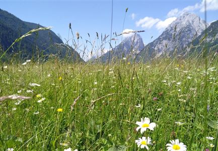
Blick in die Ferne

Hiking

Jakosbsweg Etappe 11: Mittenwald-Leutasch

Length

15,00 km

Duration

04:30 h

Uphill

400 hm

Altitude

1110 hm

Difficulty

Easy

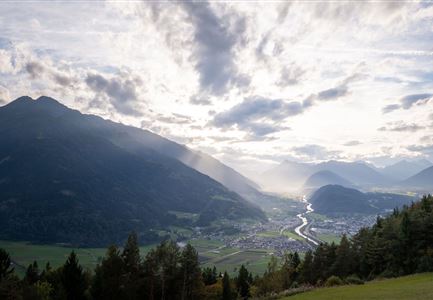
Sonnenuntergang über dem Inntal (Blick von der Friedensglocke - Querformat).jpg

Hiking

Jakobsweg Etappe 12: from Buchen to Telfs/Mötz

Length

23,70 km

Duration

06:00 h

Uphill

711 hm

Altitude

1310 hm

Difficulty

Medium