Gateway to the Karwendel Nature Park

Gateway to the Karwendel Nature Park

Hiking around Scharnitz

Located at around 964 m above sea level on the western edge of the Karwendel Mountains, Scharnitz is known as the “Gateway to the Karwendel” and serves as a central starting point for hikes in the Karwendel Nature Park. Numerous routes begin here – from the relaxed Hinterautal leading to the source of the Isar, to the more challenging Karwendel Valley, the quiet Gleirschtal with its wild Gleirschklamm Gorge, or the peaceful Gießenbachtal – ideal for those seeking nature and tranquility. More leisurely paths along the Isar or Gießenbach also invite you to hike and unwind in Scharnitz. Worthwhile highlights include scenic viewpoints like the historic Porta Claudia or the Adlerkanzel with views stretching from the village in the Region Seefeld to Germany. Its unique location on the edge of the Karwendel Nature Park makes Scharnitz a perfect starting point for a wide range of hikes – from relaxed valley walks to alpine summit tours.

Hiking Highlights in Scharnitz

Sound of Seefeld - Echt urspruenglich - Isar

Karwendel Nature Park

The Karwendel Nature Park is Tirol’s oldest protected area and the largest nature park in Austria – ideal for extended hikes, whether you’re a leisurely walker or an alpine enthusiast. From Scharnitz, a wide network of trails opens up through quiet valleys, blooming alpine meadows, wild gorges, and untouched forests.
Sound of Seefeld - Echt urspruenglich - Isar

Karwendel Nature Park

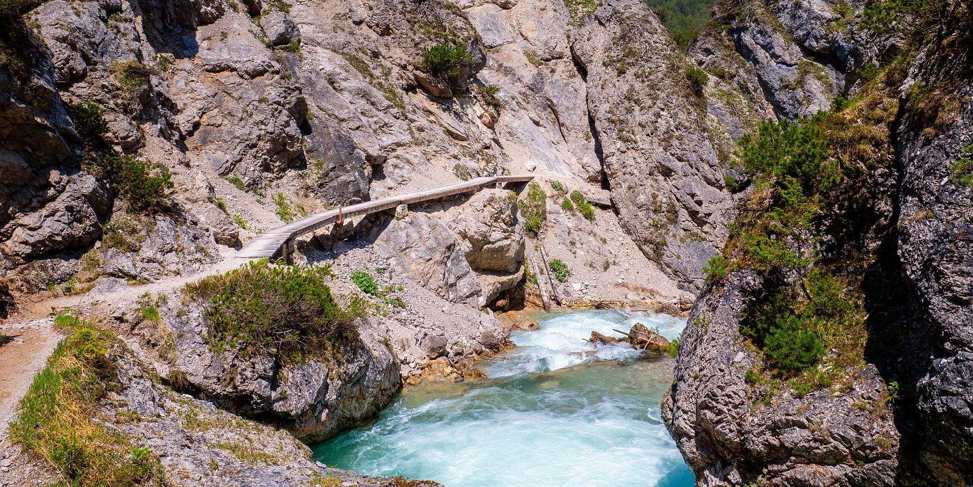
Wanderweg führt an der Gleirschklamm entlang

Gleirschklamm Gorge

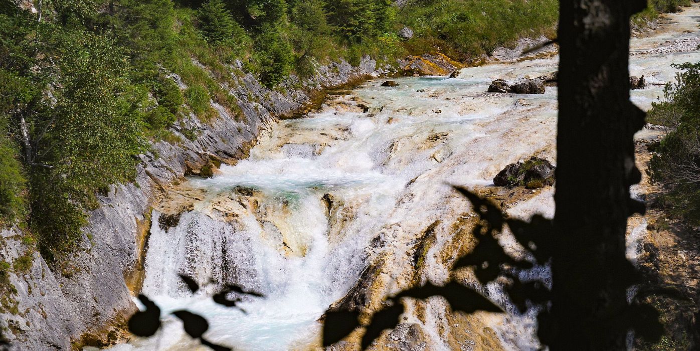
Wasserfall beim Karwendelsteg mit angeschnittenem Baum

Karwendel Gorge

Isarursprung im Abendlicht - Scharnitz

The Source of the River Isar

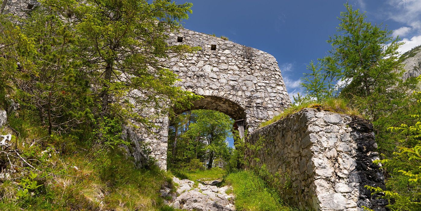
Porta Claudia Scharnitz - Eingangstor

Porta Claudia

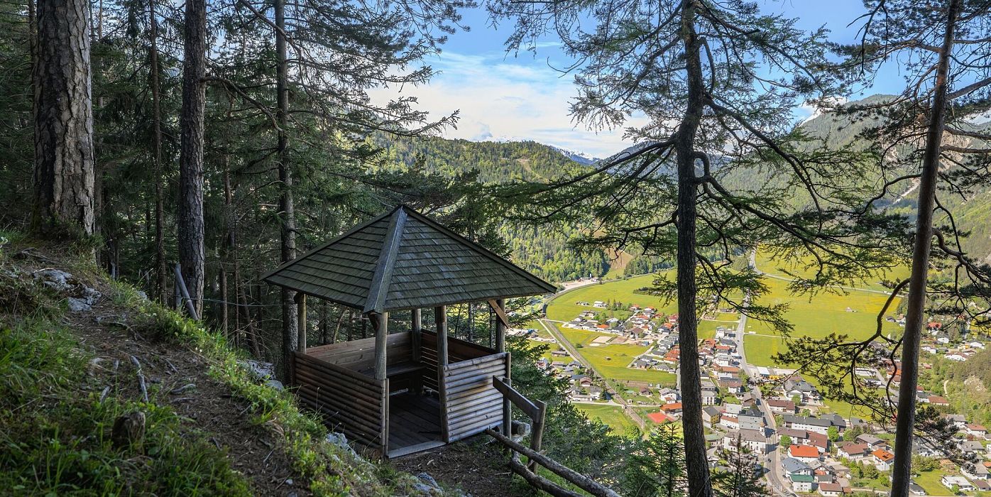
Scharnitz - Wanderung zur Adlerkanzel - Adlerkanzel mit Ausblick auf Scharnitz

Adlerkanzel Viewpoint

DISCOVER GENUINE ALPINE DIVERSITY
Explore all hikes in Scharnitz

Filter
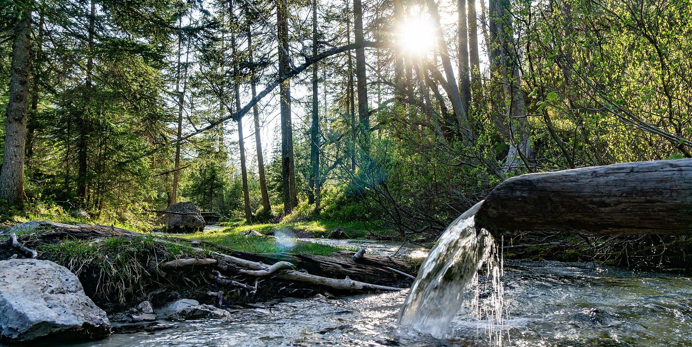
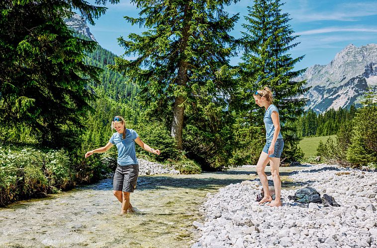
Pause am Karwendelbach im Karwendeltal mit Abkuehlung am Wasser
Whether you love hiking or climbing, you’ll find over 650 kilometers of marked hiking trails, mountain routes, and via ferratas in all levels of difficulty – the perfect way to enjoy the region’s unique natural landscape to the fullest. More than 570 kilometers of bike routes offer the chance to explore it all on two wheels. And golf enthusiasts can look forward to perfect fairways and greens set against a stunning mountain backdrop.

Tourismusverband Seefeld | Austria +43 5 0880 | region@seefeld.com | www.seefeld.com