Start Point
ErlebnisWelt Alpenbad Leutasch
End Point
ErlebnisWelt Alpenbad Leutasch
Difficulty
Easy
Total Distance
6,20 km
Descent Meters
73 m
Ascent Meters
73 m
Highest Point
1195 m
Total Time
01:45 h
Running
Best Time
Jan
Feb
Mar
Apr
May
Jun
Jul
Aug
Sep
Oct
Nov
Dec
Nordic walking
Running tracks
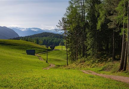
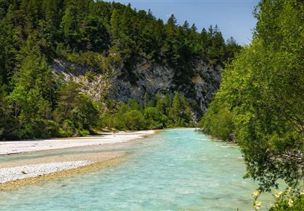
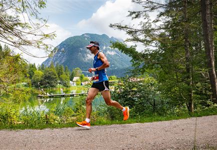
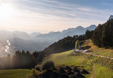
This village running loop showcases one of the most beautiful sides of the Leutasch Valley – vast green meadows, open fields, and the idyllic Leutascher Ache, all framed by stunning mountain views, with the Hohe Munde standing out as a highlight.
This easy running route starts at the Alpenbad Leutasch and is well-suited for both summer and winter. The trail first crosses the Weidach Bridge toward the football field. From there, it follows a wide hiking path westward, passing the Kirchplatzl district and the traditional guesthouses Kühtaierhof and Birkegg. Soon, the picturesque Meadow Path is reached, running along the forest’s edge and leading to the expansive Plaikner Mähder meadows – a true hidden gem. The trail then continues through the small village of Leutasch-Klamm, where Klammstraße offers a pleasant and peaceful running section.
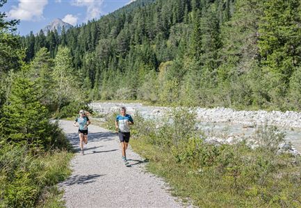
Next, the route heads south toward the info place, crosses the main road and the Leutascher Ache, and connects to the running trail along the river’s southern bank. From here, the path steadily follows the Ache, passing through the districts of Platzl and Aue until it reaches Kirchplatzl. Along the way, several rest areas provide perfect spots to take in the
Features & Characteristics
Stamina
Technique
Start Point
ErlebnisWelt Alpenbad Leutasch
End Point
ErlebnisWelt Alpenbad Leutasch
