Start Point
Football field Leutasch
End Point
Football field Leutasch
Difficulty
Medium
Total Distance
10,60 km
Descent Meters
280 m
Ascent Meters
280 m
Highest Point
1370 m
Running
Best Time
Jan
Feb
Mar
Apr
May
Jun
Jul
Aug
Sep
Oct
Nov
Dec
Winter-trailrunning
Directions:
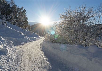
Starting from the Football field Leutasch, the trail follows the W9 winter hiking trail into the village centre of Leutasch. About 50 metres before the Biohotel Leutascher Hof, turn right towards the Katzenkopfhütte. On the way back, turn right shortly after the Katzenkopfhütte, where you are partly on the cross-country ski trail - it is recommended to walk along the edge. The trail then follows the W21 winter hiking trail into Fludertal, which leads to Leutascher Straße. Turn left there and walk back to the village centre and the starting point.
Features & Characteristics
Refreshment stops
Start Point
Football field Leutasch
End Point
Football field Leutasch

