Address & Contact
Town:
Möserer Straße 632, 6100 Seefeld
Phone:
Email:
Web:
Designated disabled parking space
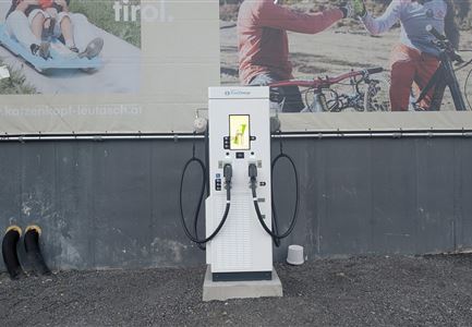
Electric charging station
Parking lot & parking garage
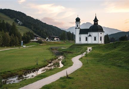
The outermost parking lot in the short-term parking zone in front of the WM Tennis Hall Seefeld is equipped with a TIWAG charging station. Access to the charging area is via Möserer Straße at the junction Am Kirchwald, not far from Seekirchl. During the winter months, there can be a lot of snow here in the meantime. There is a designated disabled parking space at parking lot P14.
The specially developed E-Mobility app from TIWAG works at all designated TIWAG charging stations, simplifies login and charging processes, promotes special charging tariffs, and is available for iOS and Android.
Fees apply in the short-term parking zone even during the charging process.
(Monday to Sunday, 8:00 AM – 8:00 PM): € 1 for 1 hour, € 2 for 2 hours, € 3 for 3 hours, € 4 for 4 hours, € 5 for 5 hours, € 6 for 6 hours, € 20 for the whole day, P14 WM Hall North (Parking lot at the Kirchwald entrance): No stopping and parking!
Pay for parking tickets in Seefeld easily via the app - The municipality of Seefeld now offers you parking with the EasyPark app as an alternative to purchasing a ticket at the parking meter. With the app,
