Pure Nature and a Real Challenge
Trail Running & Jogging in Summer in Tyrol | Region Seefeld
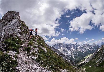
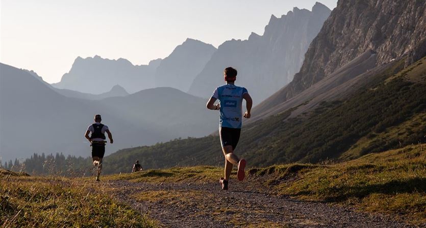
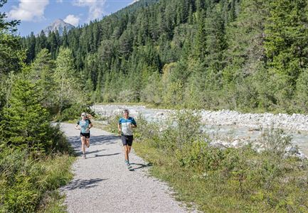
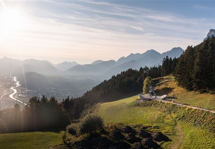
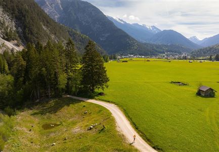
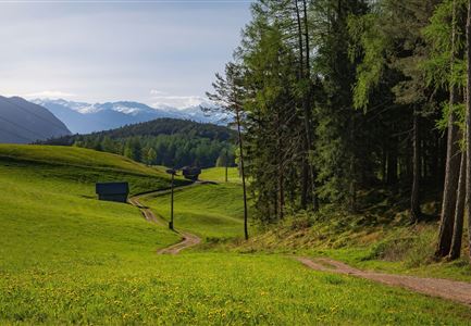
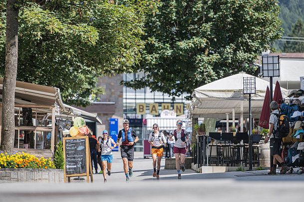
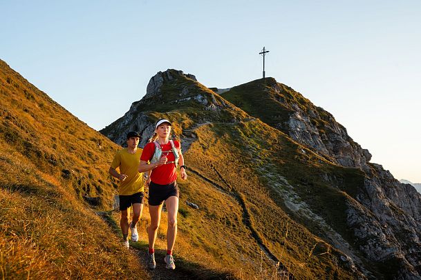
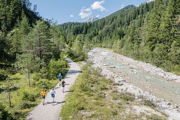
From easy forest paths to tough mountain trails – Tirols Hochplateau has the perfect route for every runner. The stunning landscape and the altitude at 1,200 meters create ideal conditions that push both body and mind. Whether you're taking it easy on gentle, flat trails or testing your limits on steep alpine paths, every run here comes with incredible views. Some routes are great for beginners tackling their first climbs, while experienced trail runners will find plenty of demanding challenges.
Unique & Diverse
Trail Running Highlights on Tirols Hochplateau
What makes our trails special:
- Easy and challenging routes – perfect for all fitness levels
- Year-round running opportunities
- High-altitude location at 1,200 meters
- Easy access with a dedicated train station and a year-round mobility concept
- Sustainability and a strong connection to nature in the Region Seefeld
- 142 kilometers of groomed and maintained trails in winter
Discover Winter in a New Way
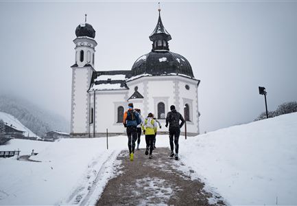
Experience trail running like never before on our groomed and maintained winter hiking trails. Crisp mountain air and freshly snow-covered paths create a truly unique running experience. Find all the details about our winter trail running routes here.
Start with Ease
Gear Tips & Important Advice
- Trail Running Shoes: Lightweight shoes with good grip and cushioning provide stability on varied terrain like gravel, forest paths, or rocky trails.
- Proper Running Gear: Choose breathable, quick-drying materials to stay cool in warm temperatures. A cap or a light headband offers protection from the sun.
- Don't Forget Sun Protection: A UV-protective pair of sunglasses and a good sunscreen are essential for sun-exposed trails.
- Stay Hydrated: On longer runs, your body needs enough fluids, especially in warm conditions. A hydration system or a lightweight bottle in a running belt helps keep you hydrated.
- Bring Your Phone: A fully charged phone not only helps with navigation but also adds an extra layer of safety.
- Navigation Aids: Download GPX data to your running watch or smartphone in advance. Check our interactive map to stay on the right track.
- Check the Weather: Keep an eye on possible weather changes, as sudden storms can develop quickly in the mountains.
- Run Early or Late: In hot summer months, the best times to run are early in the morning or in the evening.
- Light Up the Dark: A powerful headlamp ensures you have clear visibility on your route.
- Respect Nature: Stay on marked trails to ensure both safety and the protection of local wildlife and conservation areas.
The Best of Every Village
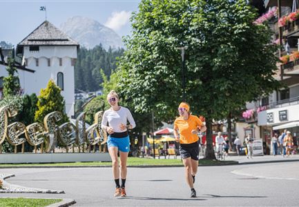
Top 5 Village Running Routes
Where Running Dreams Come True
Our Summer Trails & Running Routes
Discover our selected trail running routes and jogging tracks in the Region Seefeld. Use the filters to find your perfect route by category, difficulty level, distance, elevation gain, and location.
The Region Seefeld offers ideal conditions for running and jogging — perfect for improving endurance while enjoying nature. Whether on asphalt, gravel, or soft forest paths, both beginners and experienced runners will find the right terrain. Nordic walking is also possible on the same routes, providing a joint-friendly workout that strengthens the entire body with the use of poles.
For those looking for a greater challenge, trail running and mountain running on Tirols Hochplateau offer the perfect adventure. Navigating unpaved trails, steep climbs, and rugged nature paths requires endurance and sure-footedness—but the reward is an unforgettable experience in breathtaking surroundings.
