Start Point
Naturpark Info Center Scharnitz (P2)
End Point
Naturpark Info Center Scharnitz (P2)
Difficulty
Easy
Total Distance
7,80 km
Descent Meters
40 m
Ascent Meters
40 m
Highest Point
1010 m
Total Time
02:00 h
Running
Best Time
Jan
Feb
Mar
Apr
May
Jun
Jul
Aug
Sep
Oct
Nov
Dec
Nordic walking
Running tracks
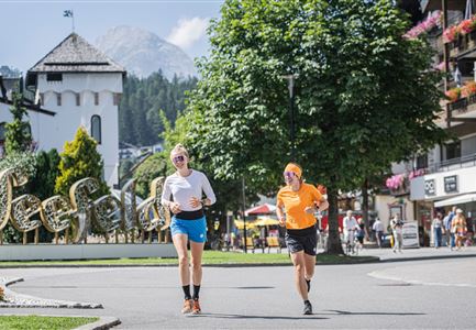
The easy route starts at the Nature Park Visitor Center in Scharnitz and is suitable for running at any time of the year. It initially runs along the Isar promenade and directly by the Isar. Hard to believe, but this river has its source very nearby: in the Hinterautal near Scharnitz.
After a short distance, the parish church Maria Hilf is reached. Here, the road is crossed, and the route continues along the Hirlanda-Ellmann-Weg. You pass a residential street before turning onto the Sportplatzweg. After a short stretch to the right, just before the bridge, the path turns onto a trail.
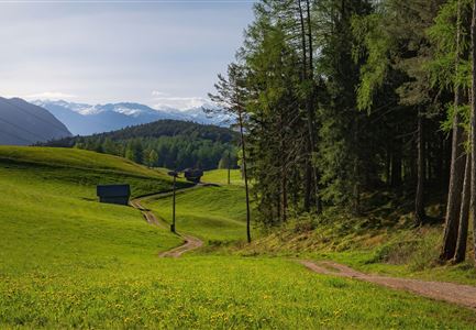
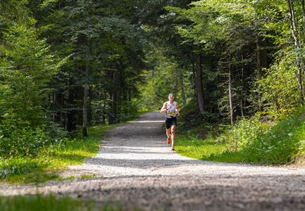
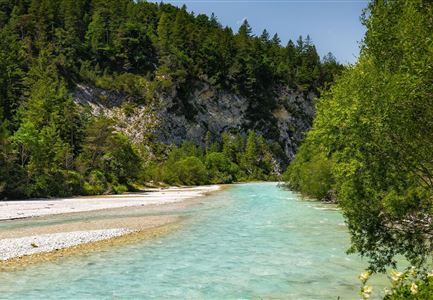
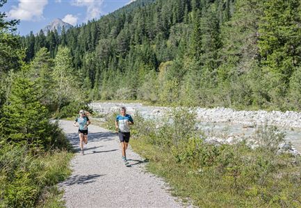
Here begins the Gießenbach valley, and an idyllic gravel path runs alongside the Gießenbach. The clear water accompanies the trail, and along the way, there are repeated beautiful views.
Upon reaching Gießenbach, the route passes through the quiet village before returning along the same path to Scharnitz. It’s a beautiful, varied trail that connects nature and village charm.
The suggested running time is only a guideline and depends on personal fitness.
Features & Characteristics
Stamina
Technique
Start Point
Naturpark Info Center Scharnitz (P2)
End Point
Naturpark Info Center Scharnitz (P2)
