Start Point

Parking lot P18 'Munde'

End Point

Parking lot P18 'Munde'

Difficulty

Medium

Total Distance

6,20 km

Descent Meters

439 m

Ascent Meters

439 m

Highest Point

1599 m

Total Time

03:00 h

Map & Elevation Profile

Start Point

Parking lot P18 'Munde'

End Point

Parking lot P18 'Munde'

Difficulty

Medium

Total Distance

6,20 km

Descent Meters

439 m

Ascent Meters

439 m

Highest Point

1599 m

Total Time

03:00 h

Hiking

Best Time

Jan

Feb

Mar

Apr

May

Jun

Jul

Aug

Sep

Oct

Nov

Dec

Circular hike

Hiking tour

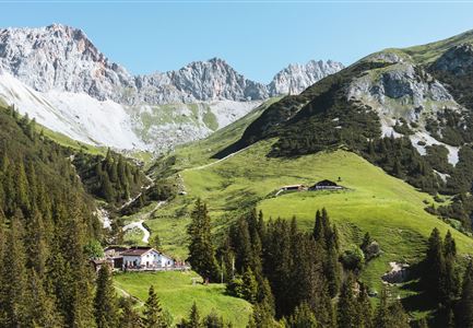
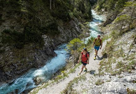
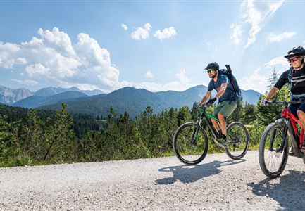
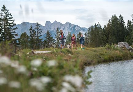
The trail starts at parking lot P18 "Munde" near the Mundestadl in the Moos district of Leutasch. From here, the hike leads through the Rappertal valley, following trail no. 24 into the Katzenloch. The path winds gently through the forest until reaching the junction to the Rauthhütte.

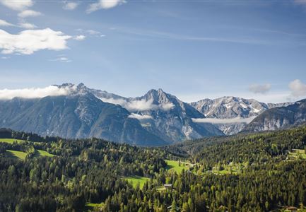
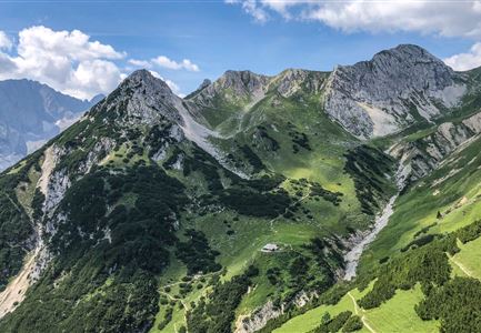
From this point, the route continues uphill on trail no. 99. The path leads through light mountain forest, offering beautiful views of the surrounding landscape. After a final ascent, the Rauthhütte is reached – a perfect place for a well-earned break while enjoying the impressive mountain scenery.

The return follows forest road no. 8, which leads very steeply downhill at the start. After around 20 minutes, the path becomes somewhat flatter and increasingly more pleasant to walk on, allowing you to enjoy the surroundings in a relaxed manner.

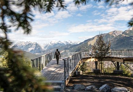
Tip: If you have some energy left, don’t miss the short detour to "Zugspitzblick." After about 20 minutes of walking, a breathtaking view of the Zugspitze opens up – a rewarding end to this scenic and varied tour.

Features & Characteristics

Start Point

Parking lot P18 'Munde'

End Point

Parking lot P18 'Munde'

Loop tour

Yes

Family-friendly

Yes
Similar Tour Suggestions

Wandern am Brunschkopf

Hiking

Brunschkopf viewing platform via Wildmoosalm from Leutasch

Length

12,80 km

Duration

04:30 h

Uphill

441 hm

Downhill

438 hm

Altitude

1493 hm

Difficulty

Medium

Durch die Gleirschklamm bei Scharnitz.jpg

Hiking

Circular hiking trail Gleirschklamm Gorge

Length

13,10 km

Duration

04:00 h

Uphill

416 hm

Downhill

410 hm

Altitude

1152 hm

Difficulty

Medium

Scharnitz - Wanderung zur Adlerkanzel - Adlerkanzel mit Ausblick auf Scharnitz.jpg

Hiking

Hike to the viewpoint Adlerkanzel (Eagle's pulpit)

Length

2,80 km

Duration

01:30 h

Uphill

230 hm

Altitude

1145 hm

Difficulty

Medium

Aussichtsplattform Kurblhang - Leutasch.jpg

Hiking

Circular hiking trail viewpoint Kurblhang

Length

3,50 km

Duration

01:30 h

Uphill

181 hm

Altitude

1277 hm

Difficulty

Medium

Blick auf das Wettersteingebirge mit Neuleutasch im Sommer - Luftaufnahme.jpg

Hiking

Circular hike from Seefeld to Gießenbach & Leutasch

Length

21,50 km

Duration

06:30 h

Uphill

773 hm

Downhill

815 hm

Altitude

1616 hm

Difficulty

Medium

Leutascher Geisterklamm - Wasserfallsteig (2).jpg

Hiking

​Hike through the Leutasch Spirit Gorge and to the Waterfall Trail

Length

5,00 km

Duration

02:30 h

Uphill

225 hm

Downhill

221 hm

Altitude

1061 hm

Difficulty

Medium

Closed
Hölzernes Herz am Mühlberg in Scharnitz - Perspektive durch Gebüsch (1).jpg

Hiking

Hike to the Mühlberg Scharnitz

Length

6,50 km

Duration

02:30 h

Uphill

334 hm

Downhill

328 hm

Altitude

1315 hm

Difficulty

Medium

Familien-Weitwanderung im Gaistal - Vater und Sohn auf schmalem Weg durch grüne Wiese (1).jpg

Hiking

Stage 2: To Rotmoosalm – Leutasch 3-Day Hut Hike for Families

Length

5,00 km

Uphill

400 hm

Downhill

130 hm

Altitude

2132 hm

Difficulty

Medium