Start Point

ErlebnisWelt Alpenbad Leutasch

End Point

ErlebnisWelt Alpenbad Leutasch

Difficulty

Easy

Total Distance

10,00 km

Descent Meters

137 m

Ascent Meters

134 m

Highest Point

1198 m

Total Time

03:00 h

Map & Elevation Profile

Start Point

ErlebnisWelt Alpenbad Leutasch

End Point

ErlebnisWelt Alpenbad Leutasch

Difficulty

Easy

Total Distance

10,00 km

Descent Meters

137 m

Ascent Meters

134 m

Highest Point

1198 m

Total Time

03:00 h

Running

Best Time

Jan

Feb

Mar

Apr

May

Jun

Jul

Aug

Sep

Oct

Nov

Dec

Attraction

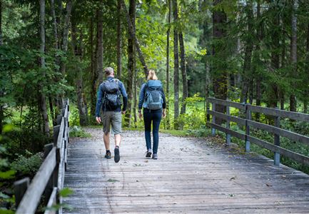
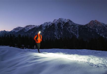
As the name of this tour suggests, on the third day of the IML 3-Day Unicorn Walk the route follows the Bichlwald in Leutasch to the hamlet of Moos. This 10km walk returns to the departure point through Obern, Klamm and Kirchplatzl.


Features & Characteristics

Start Point

ErlebnisWelt Alpenbad Leutasch

End Point

ErlebnisWelt Alpenbad Leutasch

Similar Tour Suggestions

Teilnehmer_innen des Einhornmarsches von hinten auf einer Brücke in Reindlau, Leutasch (1).jpg

Running

IML Unicorn March Day 1: 10km - Runst-Hike

Length

10,20 km

Duration

02:45 h

Uphill

80 hm

Altitude

1148 hm

Difficulty

Easy

Ganghoferlauf_Leutasch_2022

Cross-country Skiing

Race Euroloppet Ganghoferlauf - skating 22 km

Length

22,00 km

Uphill

122 hm

Altitude

1199 hm

Difficulty

Hard

Einhornmarsch-Teilnehmer mit Seefeld-Beutel laufen an der Leutascher Ache entlang.jpg

Running

IML Unicorn March Day 1: 42km - Hike around the Arnspitze Mountain

Length

42,00 km

Duration

11:00 h

Uphill

820 hm

Altitude

1382 hm

Difficulty

Medium

Teilnehmer vom Einhornmarsch kurz vor Kirchplatzl (1).jpg

Running

IML Unicorn March Day 2: 42 km - Olympic Hike

Length

42,29 km

Duration

12:45 h

Uphill

886 hm

Downhill

691 hm

Altitude

1370 hm

Difficulty

Medium

Höhenweg Leutasch_Aussichtsplattform Höhenweg.jpg

Hiking

Circular hike to the viewing platform on the Höhenweg - Runst

Length

7,40 km

Duration

02:00 h

Uphill

128 hm

Altitude

1156 hm

Difficulty

Easy

Brunschkopf_inkl_Logo.jpg

Hiking

Brunschkopf viewing platform via Geiernest from Seefeld, return via Wildmoosalm

Length

9,20 km

Duration

03:15 h

Uphill

316 hm

Downhill

313 hm

Altitude

1493 hm

Difficulty

Medium

Scharnitz - Wanderung zur Adlerkanzel - Adlerkanzel mit Ausblick auf Scharnitz.jpg

Hiking

Hike to the viewpoint Adlerkanzel (Eagle's pulpit)

Length

2,80 km

Duration

01:30 h

Uphill

230 hm

Altitude

1145 hm

Difficulty

Medium

Katzenkopfhuette mit Sonnenterrasse und Bahn im Sommer (1).jpg

Running

IML Unicorn March Day 2: KatzenkopfHike

Length

9,90 km

Duration

03:15 h

Uphill

290 hm

Downhill

61 hm

Altitude

1370 hm

Difficulty

Easy