We use cookies for your personalized browsing experience, to personalize content and ads, to provide social media features, and to analyze traffic to our website. We also share information about your use of our website with our social media, advertising and analytics partners. Our partners may combine this information with other data that you have provided to them or that they have collected as part of your use of the Services. (incl. US providers)

Start Point

Information centre Scharnitz (parking Länd P2)

End Point

Pertisau am Achensee

Difficulty

Hard

Total Distance

52,00 km

Descent Meters

2158 m

Ascent Meters

2192 m

Highest Point

1900 m

Map & Elevation Profile

Start Point

Information centre Scharnitz (parking Länd P2)

End Point

Pertisau am Achensee

Difficulty

Hard

Total Distance

52,00 km

Descent Meters

2158 m

Ascent Meters

2192 m

Highest Point

1900 m

Running

Best Time

Jan

Feb

Mar

Apr

May

Jun

Jul

Aug

Sep

Oct

Nov

Dec

Running tracks

Trailrunning

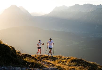
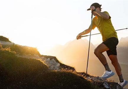
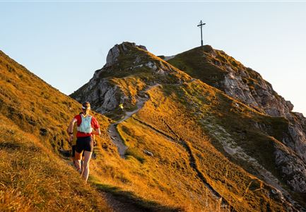
The Karwendel run, with starting point in Scharnitz (964 m), leads over the following route points or refreshment stations:

- Schafstallboden (1,173 m),

- Karwendelhaus (1,771 m),

- Kleiner Ahornboden (1,399 m),

- Falkenhütte (1,848 m),

- Eng (1,227 m) - 35 km AIM

- Binsalm (1,502 m),

- Gramai Hochleger (1,756 m),

- Gramaialm (1,263 m) and

- Falzturn Alm (1.098 m)

until Pertisau at lake Achensee (932 m) - 52.9 km destination

The indicated running time is a guide value and depends on personal fitness.

Features & Characteristics

Start Point

Information centre Scharnitz (parking Länd P2)

End Point

Pertisau am Achensee

Similar Tour Suggestions

Ferienheim Wildmoos Panorama

Running

Steckenweg track

Length

16,60 km

Uphill

436 hm

Downhill

413 hm

Altitude

1372 hm

Difficulty

Hard

Seekirchl im Sommer - Seefeld

Running

Gschwandtkopf Trail

Length

10,30 km

Uphill

343 hm

Downhill

332 hm

Altitude

1334 hm

Difficulty

Hard

Das Katzenloch - Leutasch im Sommer

Running

Katzenlochtrail

Length

14,10 km

Uphill

234 hm

Downhill

238 hm

Altitude

1279 hm

Difficulty

Medium

Partially open
Laufen im Reither Moor

Running

Panorama track

Length

4,10 km

Uphill

140 hm

Downhill

122 hm

Altitude

1145 hm

Difficulty

Medium

Bodenalm mit Terasse und Gästen

Running

Magic Castle Run

Length

21,00 km

Uphill

507 hm

Downhill

504 hm

Altitude

1254 hm

Difficulty

Hard

Wildsee im Sommer - Seefeld

Running

Auland Run

Length

7,20 km

Uphill

162 hm

Downhill

156 hm

Altitude

1203 hm

Difficulty

Medium

hochleithenkopf.jpg

Running

Mühlberg track

Length

10,90 km

Uphill

388 hm

Downhill

377 hm

Altitude

1203 hm

Difficulty

Hard

Seekirchl im Sommer - Seefeld

Running

Möserertal track

Length

5,40 km

Uphill

111 hm

Downhill

92 hm

Altitude

1236 hm

Difficulty

Medium