Start Point

Leutasch - Weidach

End Point

Grainau

Difficulty

Hard

Total Distance

68,00 km

Descent Meters

2870 m

Ascent Meters

3370 m

Highest Point

2049 m

Total Time

16:00 h

Map & Elevation Profile

Start Point

Leutasch - Weidach

End Point

Grainau

Difficulty

Hard

Total Distance

68,00 km

Descent Meters

2870 m

Ascent Meters

3370 m

Highest Point

2049 m

Total Time

16:00 h

Running

Best Time

Jan

Feb

Mar

Apr

May

Jun

Jul

Aug

Sep

Oct

Nov

Dec

Trailrunning

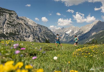
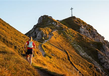
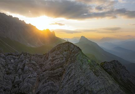
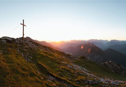
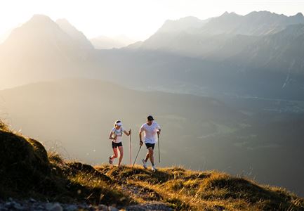
The Salomon Zugspitz Ultratrail is a challenging trail running event in the breathtaking Zugspitze region. It also includes the Leutasch Trail, a classic route with speed potential.

Pofile: demanding trail running track

Terrain: gravel path, mountain trails, meadow paths, scree fields, forest road, asphalt road

Route: Leutasch/Weidach - Wangalm - Scharnitzjoch - Hubertushof/Reindlau - Parkplatz Geisterklamm - Schützenhaus Mittenwald - Ferchenseehöhe/Entry Mittenwald Trail - Schloss Elmau - Wamberg - Laubhütte - Hochalm - Osterfelder - Garmischer Haus - Hausberg Talstation - Garmisch-Partenkirchen

The indicated running time is a guideline and depends on personal fitness.

More information can be found here.

Features & Characteristics

Start Point

Leutasch - Weidach

End Point

Grainau
Similar Tour Suggestions

Drohnenaufnahme Gaistal im Sommer - Sonnenaufgang Predigtstuhl - Blick Richtung Gehrenspitze.jpg

Running

Wetterstein Trail Run Loop

Length

25,00 km

Duration

10:30 h

Uphill

1490 hm

Altitude

2230 hm

Difficulty

Hard

Karwendelmarsch Trainingscamp (5) (2).jpg

Running

Karwendel Run 52 km (Karwendelmarsch)

Length

52,00 km

Duration

06:00 h

Uphill

2158 hm

Downhill

2192 hm

Altitude

1900 hm

Difficulty

Hard

Trailrunning auf der Seefelder Spitze - Läufer mit Blick auf das Plateau im Hintergrund.jpg

Running

Trail Run Loop via Nördlinger Hütte & Eppzirler Alm to Seefeld

Length

25,80 km

Duration

10:00 h

Uphill

1320 hm

Altitude

2243 hm

Difficulty

Hard

Trailrunning auf der Seefelder Spitze - - Läuferin kurz vor dem Gipfelkreuz (1).jpg

Running

Seefelder Spitze Trailrun Route

Length

11,70 km

Duration

06:30 h

Uphill

1000 hm

Altitude

2214 hm

Difficulty

Hard

Gehrenspitze und Gipfelkreuz beim Sonnenaufgang - Panoramaaufnahme.jpg

Running

Gehrenspitze Trailrun Route

Length

25,40 km

Duration

09:00 h

Uphill

1410 hm

Downhill

1430 hm

Altitude

2317 hm

Difficulty

Hard