Start Point
ErlebnisWelt Alpenbad Leutasch
End Point
ErlebnisWelt Alpenbad Leutasch
Difficulty
Easy
Total Distance
8,70 km
Descent Meters
104 m
Ascent Meters
100 m
Highest Point
1188 m
Total Time
01:00 h
Running
Best Time
Jan
Feb
Mar
Apr
May
Jun
Jul
Aug
Sep
Oct
Nov
Dec
Nordic walking
Running tracks
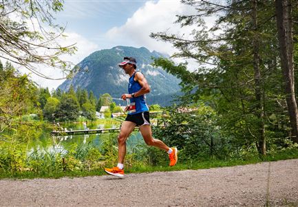
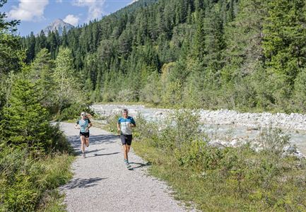
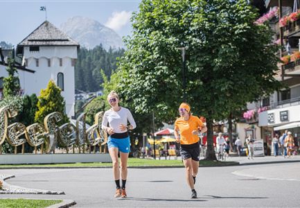
This easy running loop starts at Alpenbad Leutasch and initially follows the road toward the primary school. It then continues straight ahead, following the signs to Weidachsee (at the intersection, continue toward Haus Gehrenspitze).
A well-paved gravel path leads to the entrance of Weidachsee and the lakeside café with a fishing operation. The route continues along the promenade for a while before gently climbing through the forest to Ostbach Bridge.
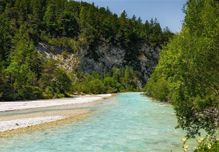
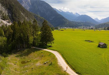
Across open fields, you'll reach the district of Moos. From there, the route turns right toward the Leutascher Ache. Following the river downstream, you return to the starting point. And if you're not quite ready to finish, you can cap off your visit with a session at ErlebnisWelt Alpenbad Leutasch.
The indicated running time is a guideline and depends on personal fitness.
Features & Characteristics
Stamina
Technique
Start Point
ErlebnisWelt Alpenbad Leutasch
End Point
ErlebnisWelt Alpenbad Leutasch
