Start Point

ErlebnisWelt Alpenbad Leutasch

End Point

ErlebnisWelt Alpenbad Leutasch
Difficulty

Easy

Total Distance

6,20 km

Descent Meters

73 m

Ascent Meters

73 m

Highest Point

1195 m

Total Time

01:45 h

Map & Elevation Profile

Start Point

ErlebnisWelt Alpenbad Leutasch

End Point

ErlebnisWelt Alpenbad Leutasch
Difficulty

Easy

Total Distance

6,20 km

Descent Meters

73 m

Ascent Meters

73 m

Highest Point

1195 m

Total Time

01:45 h

Running

Best Time

Jan

Feb

Mar

Apr

May

Jun

Jul

Aug

Sep

Oct

Nov

Dec

Winter-trailrunning

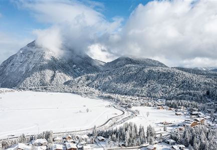
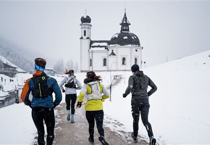
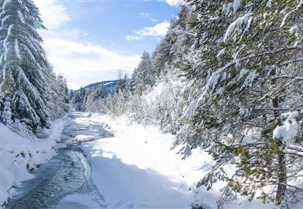
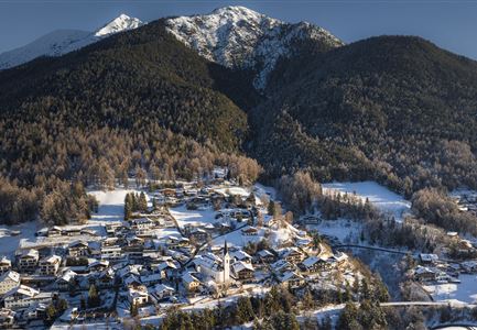
This village running loop reveals one of the most beautiful aspects of the Leutasch Valley – snowy meadows, peaceful fields, and the wintry Leutascher Ache, all set against the breathtaking mountain backdrop, especially the Hohe Munde.

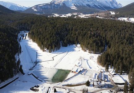
The gentle route begins at the Alpenbad Leutasch and is enjoyable year-round. First, it takes you over the Weidach Bridge to the football field. From there, the route continues along a wide winter trail heading westwards, passing through the Kirchplatzl district and the cozy Kühtaierhof and Birkegg guesthouses. Soon, you’ll reach the wintery meadow path along the forest edge that runs through the snow-dusted Plaikner Mähder – a real hidden gem. The trail then meanders through the small settlement of Leutasch-Klamm, where the Klammstraße provides a quiet section of the tour.

Next, the route initially heads south to the information plaza, crosses the main road and the Leutascher Ache to join the running path along the south bank. From here, the path follows the wintery flow of the Ache, passing through the districts of Platzl and Aue until reaching Kirchplatzl. Along the way, there are plenty of opportunities for a short break to enjoy the snowy landscape of

Read More...

Similar Tour Suggestions

Drohnenaufnahme Reith im Winter - Ortszentrum mit Kirche und Reither Spitze im Hintergrund.jpg

Running

Winter Village Running Loop Reith

Length

4,60 km

Duration

01:30 h

Uphill

105 hm

Altitude

1128 hm

Difficulty

Easy

Winter-Trailrunning in der Region Seefeld_Trailrunner läuft durch den Wald im Fludertal.jpg

Running

Winter Village Running Loop Scharnitz

Length

8,30 km

Duration

02:00 h

Uphill

42 hm

Altitude

1010 hm

Difficulty

Easy

Wintertrailrunning in der Region Seefeld - Läufer bei Friedensglocke.jpg

Running

Winter Village Running Loop Mösern

Length

4,40 km

Duration

01:00 h

Uphill

92 hm

Altitude

1289 hm

Difficulty

Easy

06.12.2021 - Neuschnee in Leutasch-Weidach mit Blick Richtung Ahrnspitzen.jpg

Running

Wintertrail - Leutascher Ache (Ahrn)

Length

4,60 km

Uphill

30 hm

Altitude

1125 hm

Difficulty

Easy

Wintertrailrunning in der Region Seefeld - Wildmoosalm.jpg

Running

Wintertrail - Seefeld through the Fludertal to the Wildmoosalm

Length

11,80 km

Uphill

260 hm

Altitude

1340 hm

Difficulty

Easy

Wildseepromenade Winter - Seefeld (1).jpg

Running

Wintertrail - Seefeld Reitherjochalm

Length

14,80 km

Uphill

373 hm

Altitude

1502 hm

Difficulty

Easy

Schneespaziergang Leutasch-2.jpg

Running

Wintertrail - Leutascher Ache (Kirchplatzl)

Length

3,10 km

Uphill

20 hm

Altitude

1147 hm

Difficulty

Easy

Winter-Trailrunning in der Region Seefeld_Trailrunner läuft auf Weg beim Seekirchl.jpg

Running

Winter Village Running Loop Seefeld

Length

4,90 km

Duration

01:00 h

Uphill

22 hm

Altitude

1207 hm

Difficulty

Easy