Start Point

Information Office Mösern

End Point

Information Office Mösern
Difficulty

Easy

Total Distance

4,40 km

Descent Meters

92 m

Ascent Meters

92 m

Highest Point

1289 m

Total Time

01:00 h

Map & Elevation Profile

Start Point

Information Office Mösern

End Point

Information Office Mösern
Difficulty

Easy

Total Distance

4,40 km

Descent Meters

92 m

Ascent Meters

92 m

Highest Point

1289 m

Total Time

01:00 h

Running

Best Time

Jan

Feb

Mar

Apr

May

Jun

Jul

Aug

Sep

Oct

Nov

Dec

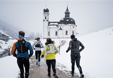
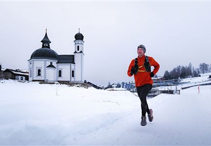
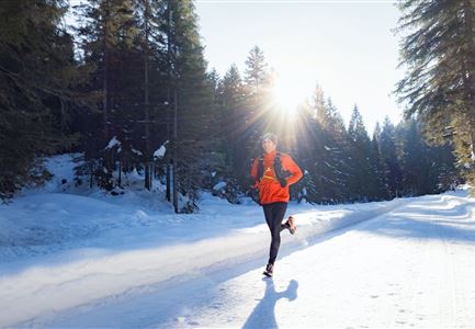
Winter-trailrunning

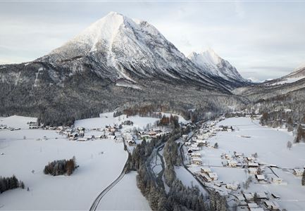
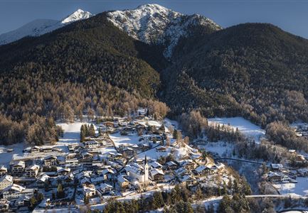
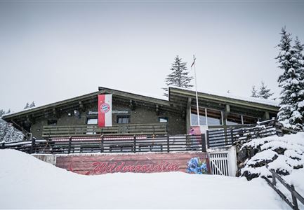
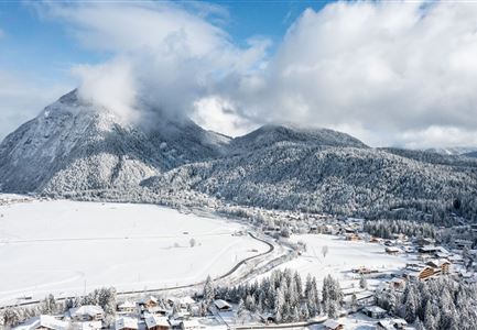
This loop showcases the most beautiful highlights of Mösern – the striking Peace Bell and the Möserer See, a true natural gem. In winter, the landscape transforms into a peaceful snow-covered wonderland, and depending on the weather, the lake becomes a popular ice-skating spot on weekends. In summer, with temperatures reaching up to 25°C, it is one of the warmest swimming lakes in Tyrol.

The route begins at the Mösern information office and can be enjoyed year-round. Right at the start, the path passes the over 300-year-old local farm museum. Shortly after, you reach the small Gföll Chapel. After crossing the road, the route continues on the Albrecht-Dürer-Weg – a beautiful section that leads deeper into nature.

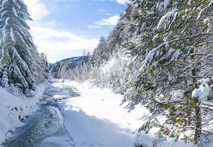
Before long, the Möserer See comes into view. Nestled at 1,295 meters above sea level and surrounded by dense fir forests, the lake is often covered in snow and ice during winter, creating a serene atmosphere. Depending on the ice thickness, it may be open for skating on weekends. Benches along the shore invite you to take a break and soak in the winter stillness. In summer, the clear waters reflect the lush green forest, making

Read More...

Similar Tour Suggestions

Katzenkopfhütte im Winter (1).jpg

Running

Wintertrail - Leutasch Katzenkopf

Length

10,60 km

Uphill

280 hm

Altitude

1370 hm

Difficulty

Medium

Gaistal Winter Naturaufnahme Winterwanderweg mit beschneiden Bäumen.jpg

Running

Wintertrail - Leutasch hut round

Length

24,70 km

Uphill

644 hm

Altitude

1410 hm

Difficulty

Hard

Wildseepromenade Winter - Seefeld (1).jpg

Running

Wintertrail - Seefeld Reitherjochalm

Length

14,80 km

Uphill

373 hm

Altitude

1502 hm

Difficulty

Easy

drohnenaufnahme_neuschnee_27.11._leutasch_blick_richtung_hohe_munde_1.jpg

Running

Winter Village Running Loop Leutasch

Length

6,20 km

Duration

01:45 h

Uphill

73 hm

Altitude

1195 hm

Difficulty

Easy

Drohnenaufnahme Reith im Winter - Ortszentrum mit Kirche und Reither Spitze im Hintergrund.jpg

Running

Winter Village Running Loop Reith

Length

4,60 km

Duration

01:30 h

Uphill

105 hm

Altitude

1128 hm

Difficulty

Easy

Wanderweg Reith-Seefeld im Winter.jpg

Running

Wintertrail - Seefeld to Reith through the Hölltal

Length

12,70 km

Uphill

280 hm

Altitude

1303 hm

Difficulty

Medium

Wintertrailrunning in der Region Seefeld - Zwei Läufer in traumhafter Winterlandschaft.jpg

Running

Wintertrail - Seefeld to Katzenkopf hut

Length

16,70 km

Uphill

360 hm

Altitude

1371 hm

Difficulty

Hard

Drohnenaufnahme Wildmoos im Nebel - Lottensee mit Blick aufs Wettersteingebirge.jpg

Running

Wintertrail - Three lakes tour from Seefeld over Buchen

Length

27,80 km

Uphill

657 hm

Altitude

1392 hm

Difficulty

Medium