Start Point
Football field Leutasch
End Point
Football field Leutasch
Difficulty
Hard
Total Distance
24,70 km
Descent Meters
644 m
Ascent Meters
644 m
Highest Point
1410 m
Running
Best Time
Jan
Feb
Mar
Apr
May
Jun
Jul
Aug
Sep
Oct
Nov
Dec
Winter-trailrunning
Directions:
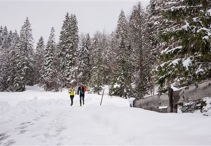
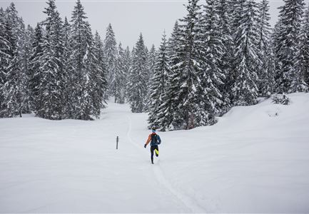
From the football field Leutasch, follow winter hiking trail 17 on the left to the Klamm district. Then follow stage trail 3 to the crossroads in the direction of Wettersteinhütte. Keep left there and walk down to the Stupfer car park. From there, cross the Leutascher Ache and walk into the Gaistal valley, upstream to the Gaistal car park, where winter hiking trails W12 and W11 begin. Follow winter hiking trail 11 in the direction of Hämmermoosalm and return along the same route to the junction with trail W12. Turn right there and follow winter hiking trail W12 to the Gaistalalm. Return along the same route to the Klamm district. From there, follow the W17, cross the Ache again and walk back to the starting point.
Features & Characteristics
Start Point
Football field Leutasch
End Point
Football field Leutasch

