We use cookies for your personalized browsing experience, to personalize content and ads, to provide social media features, and to analyze traffic to our website. We also share information about your use of our website with our social media, advertising and analytics partners. Our partners may combine this information with other data that you have provided to them or that they have collected as part of your use of the Services. (incl. US providers)
Start Point

Leutasch - Weidach

End Point

Grainau

Difficulty

Hard

Total Distance

68,80 km

Descent Meters

3120 m

Ascent Meters

4009 m

Highest Point

2044 m

Map & Elevation Profile

Start Point

Leutasch - Weidach

End Point

Grainau

Difficulty

Hard

Total Distance

68,80 km

Descent Meters

3120 m

Ascent Meters

4009 m

Highest Point

2044 m

Running

Best Time

Jan

Feb

Mar

Apr

May

Jun

Jul

Aug

Sep

Oct

Nov

Dec

Trailrunning

Running tracks

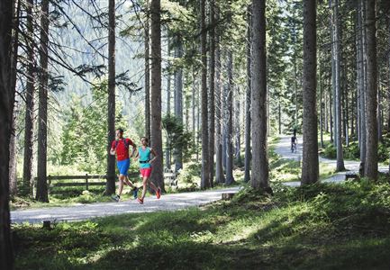
Three different routes lead the up to 1000 participants of the Salomon Zugspitz Ultratrail up to the summit of the highest mountain in Germany with 2.962 m. Start: Supertrail (68.8 km, 3,120 hm, start in Leutasch)

The indicated running time is a guide value and depends on personal fitness.

Features & Characteristics

Start Point

Leutasch - Weidach

End Point

Grainau

Similar Tour Suggestions

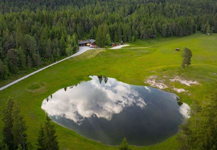
Lottensee im Frühsommer - Drohnenaufnahme mit Lottenseehütte und Wettersteingebirge.jpg

Running

Circuit run around the Lottensee lake

Length

6,40 km

Uphill

123 hm

Downhill

126 hm

Altitude

1344 hm

Difficulty

Easy

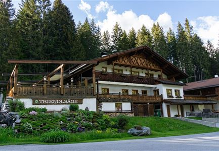
Gasthaus Triendlsäge

Running

Verbindungsstrecke Seefeld-Leutasch

Length

14,50 km

Uphill

338 hm

Downhill

250 hm

Altitude

1226 hm

Difficulty

Medium

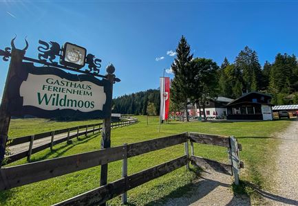
Ferienheim Wildmoos Panorama

Running

Steckenweg track

Length

16,60 km

Uphill

436 hm

Downhill

413 hm

Altitude

1372 hm

Difficulty

Hard

Symbolbild

Running

Adlerweg track

Length

5,10 km

Uphill

76 hm

Downhill

73 hm

Altitude

1139 hm

Difficulty

Easy

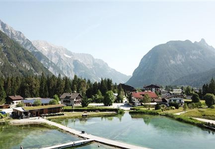
Weidachsee

Running

Moosrunde track

Length

8,70 km

Uphill

104 hm

Downhill

100 hm

Altitude

1188 hm

Difficulty

Easy

Partially open
Weidachsee

Running

Fischerrun

Length

3,70 km

Uphill

63 hm

Downhill

64 hm

Altitude

1156 hm

Difficulty

Easy

Baenke und Stadl auf dem Oberen Wiesenweg in Leutasch

Running

Wiesenweglauf track

Length

6,60 km

Uphill

102 hm

Downhill

83 hm

Altitude

1192 hm

Difficulty

Medium

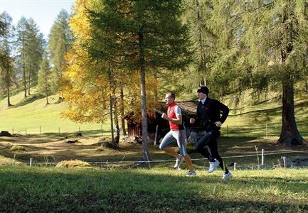
Joggen - Symbolbild

Running

Olympia track

Length

9,60 km

Uphill

188 hm

Altitude

1370 hm

Difficulty

Medium