We use cookies for your personalized browsing experience, to personalize content and ads, to provide social media features, and to analyze traffic to our website. We also share information about your use of our website with our social media, advertising and analytics partners. Our partners may combine this information with other data that you have provided to them or that they have collected as part of your use of the Services. (incl. US providers)

Start Point

Music Pavilion Weidach (P15)

End Point

Music Pavilion Weidach (P15)

Difficulty

Medium

Total Distance

3,50 km

Descent Meters

181 m

Highest Point

1277 m

Total Time

01:30 h

Map & Elevation Profile

Start Point

Music Pavilion Weidach (P15)

End Point

Music Pavilion Weidach (P15)

Difficulty

Medium

Total Distance

3,50 km

Descent Meters

181 m

Highest Point

1277 m

Total Time

01:30 h

Hiking

Best Time

Jan

Feb

Mar

Apr

May

Jun

Jul

Aug

Sep

Oct

Nov

Dec

Hiking tour

Circular hike

+3

Route: parking lot "Musikpavillon" (P15) - Kurblhang viewing platform - parking lot "Musikpavillon" (P15)

Parking and public transport:

Please use the following parking options: P15 | P21 | P23

By train to Seefeld station and continue with the Regiobus to the stop "Weidach Zentrum".

You can find all connections in real time with the Mobility-App "wegfinder".

Directions:

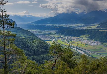
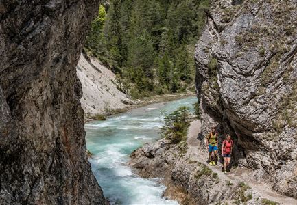
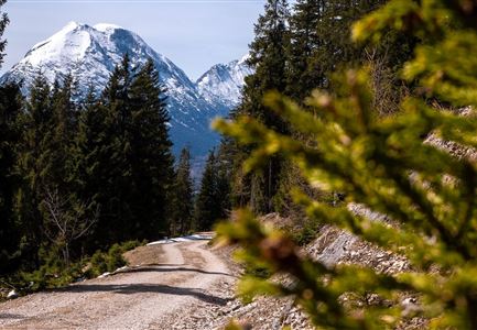
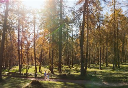
From the parking lot "Musikpavillon", start in the direction of Unterweidach and past the M-Preis supermarket. After about 150 m turn right to the country house "Knaus". There you follow the trail uphill through the beautiful Leutasch mixed forest. After about 45 minutes you will reach the panoramic viewing platform, from which you have a breathtaking view of the Wetterstein mountains and the Hohe Munde. Follow the signs to Weidach and hike back to the starting point.

Alpine emergency call:

Call: 140

Features & Characteristics

Start Point

Music Pavilion Weidach (P15)

End Point

Music Pavilion Weidach (P15)

Family-friendly

Yes

Loop tour

Yes

Similar Tour Suggestions

Durchs Karwendeltal aufs Karwendelhaus - Scharnitz

Hiking

Hike to the Karwendelhaus

Length

36,00 km

Duration

11:15 h

Uphill

839 hm

Altitude

1765 hm

Difficulty

Medium

Kaltwassersee auf der Rosshütte über Seefeld

Hiking

Circular hiking traill to the Rosshütte alpine hut - Hochegg Alm alpine hut

Length

8,30 km

Duration

03:45 h

Uphill

515 hm

Altitude

1740 hm

Difficulty

Medium

Wanderer im Aufstieg auf die Gehrenspitze - Leutasch.jpg

Hiking

Hike to the Gehrenspitze, 2,367 m

Length

22,80 km

Duration

10:00 h

Uphill

1319 hm

Altitude

2367 hm

Difficulty

Medium

Kurblhang

Hiking

Circular hike from Seefeld to Gießenbach & Leutasch

Length

21,50 km

Duration

06:30 h

Uphill

773 hm

Downhill

815 hm

Altitude

1616 hm

Difficulty

Medium

Partially open
Leutascher Geisterklamm mit Blick Richtung Mittenwald.jpg

Hiking

Long Gorge Trail (with theme path)

Length

3,20 km

Duration

01:30 h

Uphill

68 hm

Difficulty

Medium

Seefelder Spitze im Sonnenuntergang

Hiking

Hiking to the Seefelder Spitze, 2,221 m and Seefelder Joch

Length

7,40 km

Duration

04:30 h

Uphill

1007 hm

Altitude

2221 hm

Difficulty

Medium

Open
Falkenhütte neu

Hiking

Karwendelmarsch 52 km

Length

52,00 km

Duration

19:00 h

Uphill

2281 hm

Downhill

2217 hm

Altitude

1903 hm

Difficulty

Hard

Reith - Wanderung Frau Häusl Kapelle - Bank und Bildstock mit Aussicht ins Inntal.jpg

Hiking

Circular hike panoramic path

Length

6,70 km

Duration

02:15 h

Uphill

289 hm

Altitude

1306 hm

Difficulty

Easy