Start Point

Nature Park Information Center Scharnitz

End Point

Nature Park Information Center Scharnitz

Difficulty

Medium

Total Distance

42,0 km

Descent Meters

1396 m

Highest Point

2321 m

Total Time

11:15 h

Start Point

Nature Park Information Center Scharnitz

End Point

Nature Park Information Center Scharnitz

Difficulty

Medium

Total Distance

42,0 km

Descent Meters

1396 m

Highest Point

2321 m

Total Time

11:15 h

Hiking

Best Time

Jan

Feb

Mar

Apr

May

Jun

Jul

Aug

Sep

Oct

Nov

Dec

Hiking tour

Bike & Hike

+1

Route: Information centre – Gleirschhöhe – Valley Hinterautal – Source of the River Isar – Alpine Hut

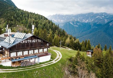
Kastenalm – Lafatscher Niederleger – Alpine Hut Hallerangeralm– Alpine House Hallerangerhaus – Alpine Hut Hallerangeralm – Lafatscher Niederleger – Alpine Hut Kastenalm – Source of the River Isar – Valley Hinterautal – Gleirschhöhe – Information centre

Directions:

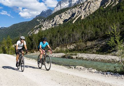
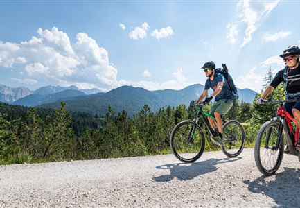
Very long hike, which requires good physical fitness. To save time, it is recommended to take the bike up to Kastenalm and then continue on foot to the Hallerangeralm.

Starting at the information centre Scharnitz at car parking Länd follow the road towards the Isarlodge Wiesenhof. Continue on to Gleirschhöhe where you take the forest track to your left towards the source of the river Isar. Just before the Kastenalm park your bike and cross over a little bridge.Then go up a steep track past the Lafatscher Niederleger to mountain meadows Halleranger. When you reach the pastures the path splits, left to the hut Hallerangeralm. To the left below the alpine pasture, a small, marked trail branches off and leads diagonally upwards across the alpine pasture into a mountain pine alley. The mountain pines clear after a few hairpin bends and the trail continues across a mountain

Read More...

Features & Characteristics

Start Point

Nature Park Information Center Scharnitz

End Point

Nature Park Information Center Scharnitz

Map & Elevation Profile

Similar Tour Suggestions

Cycling

Biketour No. 545 Gschwandtkopf

Length

3,0 km

Uphill

250 hm

Altitude

1478 hm

Difficulty

Hard

Hiking

Hike to the Meilerhütte alpine hut

Length

13,0 km

Duration

09:00 h

Uphill

1352 hm

Downhill

36 hm

Altitude

2371 hm

Difficulty

Medium

Cycling

Biketour No. 578 Hinterautal-Isarursprung-Kastenalm

Length

14,1 km

Uphill

300 hm

Downhill

50 hm

Altitude

1220 hm

Difficulty

Easy

Closed

Cycling

Biketour No. 551 Seebensee

Length

11,6 km

Uphill

410 hm

Downhill

30 hm

Altitude

1658 hm

Difficulty

Medium

Hiking

Karwendel March 35 km

Length

35,0 km

Duration

12:30 h

Uphill

1664 hm

Downhill

1358 hm

Altitude

1843 hm

Difficulty

Hard

Hiking

Kneipp facility & reflection walk in Seefeld

Length

7,6 km

Duration

02:00 h

Uphill

36 hm

Downhill

32 hm

Altitude

1250 hm

Difficulty

Easy

Hiking

Round the Gschwandtkopf Hill (Circular Walk)

Length

10,3 km

Duration

02:30 h

Uphill

264 hm

Altitude

1352 hm

Difficulty

Easy

Cycling

Biketour No. 5027 Rosshütte

Length

5,5 km

Uphill

569 hm

Downhill

5 hm

Altitude

1751 hm

Difficulty

Hard