Start Point
Falkenhütte
End Point
Karwendelhaus
Difficulty
Medium
Total Distance
8,50 km
Descent Meters
550 m
Highest Point
1840 m
Total Time
03:30 h
Hiking
Best Time
Jan
Feb
Mar
Apr
May
Jun
Jul
Aug
Sep
Oct
Nov
Dec
Long distance trails
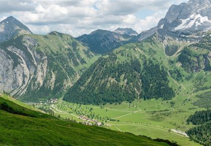
Route: Falkenl hut - Ladizalm - Kleiner Ahornboden - Hermann-von-Barth-Monument - Filztal valley - Hochalm saddle - Karwendelhaus
Route description:
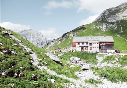
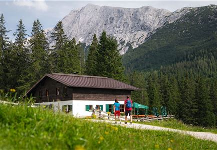
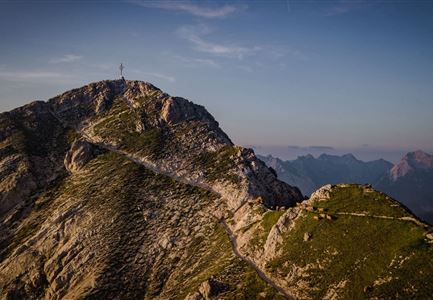
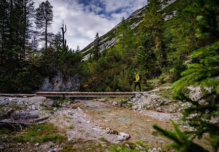
North below the Falkenhütte, follow the signs to "Karwendelhaus" and hike gently downhill on a good trail through alpine meadows. Later, continue downhill along a cart path. Pass the Ladizalm with the historic Almhaus and then descend in the (sparse) forest (always stay on the cart path). After crossing the mostly dry, wide gravel stream bed, the route leads to the Kleiner Ahornboden and joins a wide forest road that immediately leads to the Hermann von Barth monument and the old forester's houses just above the monument. On the forest road, turn left past the forester's lodges and head up towards the Karwendelhaus. The forest road quickly turns into a cart track in the sparse forest, and later into a climb. The trail then leads gently up through the lovely Untere Filztal valley, before later moving into the alpine pasture area (overall practically always in the same direction). A little later, the trail joins a road. Now continue on the road in the same direction through the meadows to the Hochalmsattel with the Jochkreuz. Then on the
Features & Characteristics
Start Point
Falkenhütte
End Point
Karwendelhaus
