Start Point
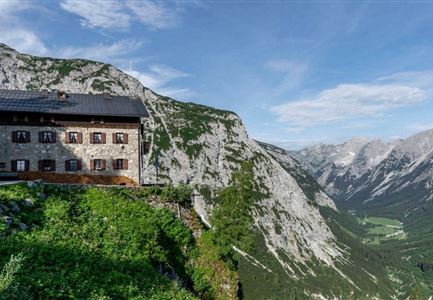
Solsteinhaus
End Point
Leutasch/Ahrn
Difficulty
Medium
Total Distance
20,00 km
Descent Meters
870 m
Ascent Meters
1500 m
Highest Point
2110 m
Total Time
06:30 h
Hiking
Best Time
Jan
Feb
Mar
Apr
May
Jun
Jul
Aug
Sep
Oct
Nov
Dec
Long distance trails
Route: Solsteinhaus - Eppzirler Scharte - Eppzirler Alm - Giessenbachklamm gorge - Scharnitz - Leutasch/Ahrn
Route description:
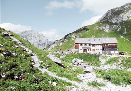
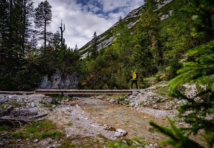
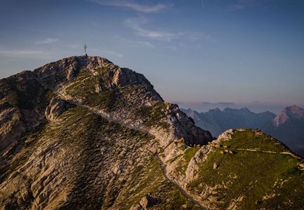
From the Solsteinhaus, head in a northwesterly direction through scree and rocks to the Eppzirler Scharte and further down to the Eppzirler Alm. Now a wide road leads leisurely falling out of the Eppzirler valley and further along the Giessenbach, through the wildly romantic Giessenbachklamm gorge out of the valley. From the village of Giessenbach, the trail continues west of the railroad tracks and the main road to Scharnitz, but soon turns left in the direction of Hoher Sattel. Beyond the Hoher Sattel, the trail descends steeply on a forest path to Leutasch/Ahrn.
Advice:
Surefootedness required for crossing the Eppzirler Scharte (steep scree slopes on both sides of the Scharte); suitable for children 12 years and older.
Highlights:
- Surrounded by bizarre rock formations, enjoy the peace and solitude of the Karwendel mountains on the Eppzirler Scharte.
- The Hohe Sattel gives you a perfect view of the Hohe Munde (2,662 meters) and further into the Gaistal. Behind you, you can see into the Karwendel valleys.
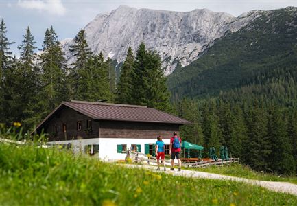
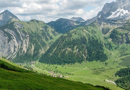
- Around the Eppzirler Alm stretches an extensive alpine pasture area.
Features & Characteristics
Start Point
Solsteinhaus
End Point
Leutasch/Ahrn
