Start Point
Innsbruck
End Point
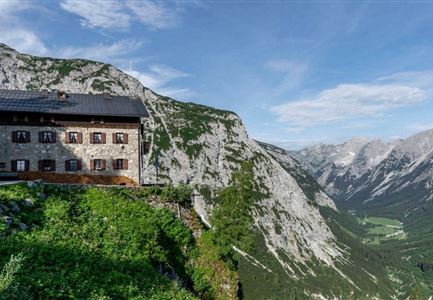
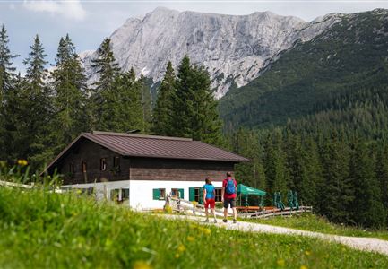
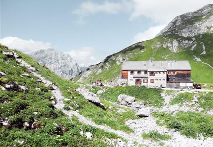
Solsteinhaus
Difficulty
Medium
Total Distance
7,00 km
Descent Meters
940 m
Highest Point
1800 m
Hiking
Best Time
Jan
Feb
Mar
Apr
May
Jun
Jul
Aug
Sep
Oct
Nov
Dec
Long distance trails
Directions:
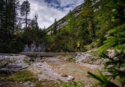
Take the Mittenwaldbahn from Innsbruck or walk from the train station in a westerly direction following Salurnerstraße to Triumphpforte - then turn left into Maria-Theresien-Straße until it leads straight ahead into the old town to the Goldenes Dachl - pass it on the right into Domgasse until you reach the Cathedral of St. Jacob. Follow the Jakobsweg through Innsbruck further to Kranebitten, Völs, Kematen and then from Kematen take the hiking trail over the Inn bridge in the direction of Zirl, and then continue through the Ehnbachklamm gorge in the direction of Plainer to the Hochzirl train station and directly from the station follow the signs "Solsteinhaus". North of the tracks immediately on a good climb into the dense forest. After a short time, the path leads into a cart track, on this directly and quite steeply upwards. Soon the path from the hospital Hochzirl joins on the left, further uphill and in a northeasterly direction steeply through the forest. After crossing the small stream that runs down from the Brunnenschrofen, a short stretch almost flat or
Features & Characteristics
Refreshment stops
Start Point
Innsbruck
End Point
Solsteinhaus
