Start Point

Parking lot P2 'Stupfer' in Gaistal

End Point

Parking lot P2 'Stupfer' in Gaistal

Difficulty

Medium

Total Distance

7,30 km

Descent Meters

566 m

Ascent Meters

566 m

Highest Point

1717 m

Total Time

04:00 h

Map & Elevation Profile

Start Point

Parking lot P2 'Stupfer' in Gaistal

End Point

Parking lot P2 'Stupfer' in Gaistal

Difficulty

Medium

Total Distance

7,30 km

Descent Meters

566 m

Ascent Meters

566 m

Highest Point

1717 m

Total Time

04:00 h

Hiking

Best Time

Jan

Feb

Mar

Apr

May

Jun

Jul

Aug

Sep

Oct

Nov

Dec

Hiking tour

Hut hike

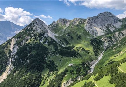
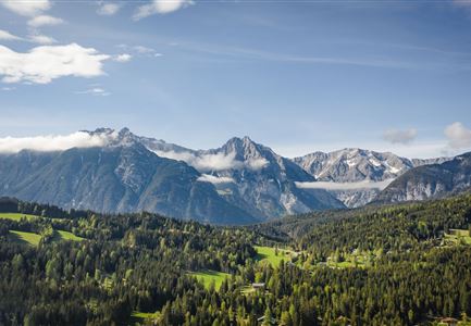
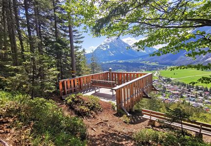
The hike starts at parking lot P2 Stupfer in the Gaistal valley. The first section is a steep 400-meter ascent until reaching trail no. 9. From there, the path continues through the forest, which occasionally opens up to reveal beautiful views of the surrounding peaks and the Hohe Munde.

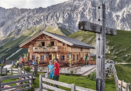
At the junction to the Waldsteig, there are two options: continue on trail no. 9 or take the steeper trail leading directly to the Wettersteinhütte or Wangalm. These two mountain huts are close to each other and offer delicious regional specialties along with stunning views of the Gaistal valley—a perfect place to take a break.

For those who want a sneak peek, here are two videos:


After a well-earned rest at one of the huts—or maybe even both—the route follows the same path back down into the valley. A rewarding tour with a challenging ascent, breathtaking panoramic views, and authentic Tyrolean hut charm.

Features & Characteristics

Start Point

Parking lot P2 'Stupfer' in Gaistal

End Point

Parking lot P2 'Stupfer' in Gaistal

Family-friendly

Yes
Similar Tour Suggestions

Brunnsteinhütte

Hiking

Hike to the Brunnsteinhütte

Length

10,00 km

Duration

04:30 h

Uphill

668 hm

Altitude

1523 hm

Difficulty

Medium

Sonnenuntergang von der Rosshütte - Blick auf Bergbahn mit durch Wolken blitzende Sonne .jpg

Hiking

Geological Nature Trail 'Hermannstal'

Length

9,00 km

Duration

02:00 h

Uphill

573 hm

Altitude

1750 hm

Difficulty

Medium

Leutascher Geisterklamm mit Blick Richtung Mittenwald.jpg

Hiking

Long Gorge Trail through the Leutasch Spirit Gorge with Themed Trail

Length

3,20 km

Duration

01:30 h

Uphill

129 hm

Downhill

127 hm

Altitude

1060 hm

Difficulty

Medium

Wandern am Brunschkopf

Hiking

Brunschkopf viewing platform via Wildmoosalm from Leutasch

Length

12,80 km

Duration

04:30 h

Uphill

441 hm

Downhill

438 hm

Altitude

1493 hm

Difficulty

Medium

Familien-Weitwanderung im Gaistal - Familie spielt Engelchen.jpg

Hiking

Stage 3: To Hämmermoosalm & Wrap Up – Leutasch 3-Day Hut Hike for Families

Length

6,50 km

Uphill

10 hm

Downhill

840 hm

Altitude

2132 hm

Difficulty

Medium

Gleirschklamm - Scharnitz (17).jpg

Hiking

Hike through the Gleirschklamm to the Möslalm

Length

21,20 km

Duration

06:30 h

Uphill

505 hm

Downhill

498 hm

Altitude

1261 hm

Difficulty

Medium

Wanderung zur Eppzirler Alm im Sommer - Mann und Frau von hinten mit Eppzirler Alm.jpg

Hiking

Hike to the Eppzirler Alm alpine hut

Length

12,40 km

Duration

04:00 h

Uphill

475 hm

Altitude

1459 hm

Difficulty

Medium

Radtour ins Gaistal - Bruecke am Eingang vom Gaistal.jpg

Hiking

Bike & Hike lake Seebensee & lake Drachensee

Length

31,00 km

Duration

04:45 h

Uphill

820 hm

Altitude

1897 hm

Difficulty

Medium