We use cookies for your personalized browsing experience, to personalize content and ads, to provide social media features, and to analyze traffic to our website. We also share information about your use of our website with our social media, advertising and analytics partners. Our partners may combine this information with other data that you have provided to them or that they have collected as part of your use of the Services. (incl. US providers)

Start Point

Seekirchl Seefeld

End Point

Seekirchl Seefeld

Difficulty

Hard

Total Distance

32,00 km

Descent Meters

589 m

Map & Elevation Profile

Start Point

Seekirchl Seefeld

End Point

Seekirchl Seefeld

Difficulty

Hard

Total Distance

32,00 km

Descent Meters

589 m

Cross-country Skiing

Best Time

Jan

Feb

Mar

Apr

May

Jun

Jul

Aug

Sep

Oct

Nov

Dec

Ski-nordic

Cross-country ski trail entrance:

C1 at Seekirchl

Cross-country trails:

C1, C2, B3, C11, C6, C10, A4, C8, C11, B3, A3, C3, A3, C2

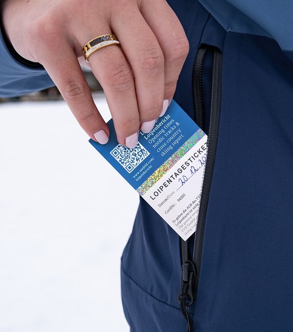
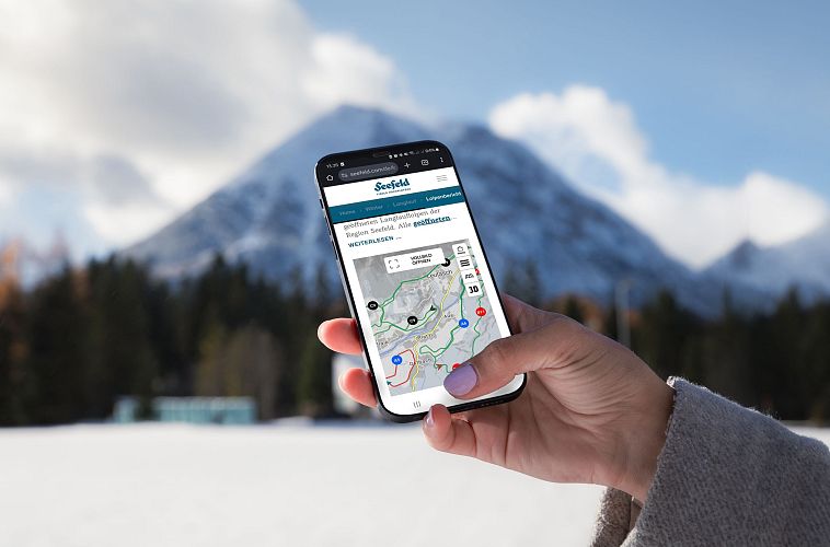
An overview of the entire network of cross-country ski trails (incl. trail status) and helpful cross-country skiing information (ticket machines, waxing and service points, changing facilities, ...) can be found in the cross-country ski trail report.

Nordic history:

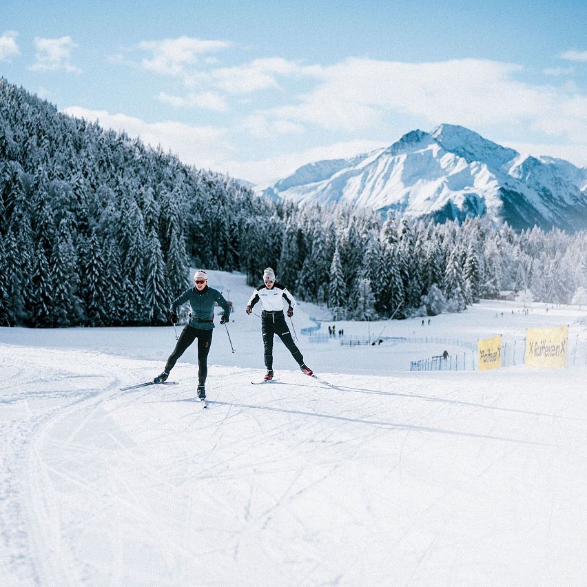
When the Winter Olympics were held in Innsbruck and Tyrol in 1964, the expansive landscape of the Seefeld sun plateau was tailor-made for hosting the Nordic cross-country competitions. The success left its mark: As a result, the Region Seefeld invested in a cross-country skiing network that now encompasses a good 245 kilometers. In 1976, the Olympic flame was lit in Seefeld for the second time, in 2012 the Winter Youth Olympic Games were held on the sunny plateau, and in 1985 and 2019 also the FIS Nordic World Ski Championships were hosted in the Region of Seefeld. Thus, the scenic high plateau at 1,200 meters established itself as a true cross-country skiing El

Read More...

Features & Characteristics

Start Point

Seekirchl Seefeld

End Point

Seekirchl Seefeld

Similar Tour Suggestions

Loipe A12 - Scharnitz - Luftaufnahme

Cross-country Skiing

A12 - Scharnitz

Length

3,40 km

Uphill

20 hm

Altitude

980 hm

Difficulty

Easy

Closed
B4 Loipeneinstieg Skatingzentrum Leutasch

Cross-country Skiing

B4 - Skatingzentrum

Length

1,20 km

Uphill

39 hm

Altitude

1205 hm

Difficulty

Medium

Closed
Klassische Langlauf Spur

Cross-country Skiing

B8 - Interalpen Connection West

Length

400 m

Uphill

24 hm

Altitude

1342 hm

Difficulty

Medium

Closed
Loipe A9 Unterleutasch - Klassik und Skating

Cross-country Skiing

A9 - Unterleutasch

Length

13,70 km

Uphill

81 hm

Altitude

1092 hm

Difficulty

Easy

Closed
Leutasch Winter 2022 Langlaufen Snow Farming Loipe A6 Drohne (5).jpg

Cross-country Skiing

A6 - Snowfarming track Leutasch

Length

2,30 km

Uphill

20 hm

Altitude

1149 hm

Difficulty

Easy

Closed
C8 Rauthgatter Loipe - Buchen

Cross-country Skiing

C8 - Rauthgatter

Length

1,50 km

Uphill

77 hm

Altitude

1340 hm

Difficulty

Hard

Closed
A3-C3-C4-C5 in Wildmoos

Cross-country Skiing

C5 - Kaserwald

Length

2,60 km

Uphill

58 hm

Altitude

1388 hm

Difficulty

Hard

Closed
Kaiser Maximilian Runde Leutasch

Cross-country Skiing

Kaiser Max Round (classic & skating)

Length

60,00 km

Uphill

659 hm

Altitude

1337 hm

Difficulty

Hard

Closed