We use cookies for your personalized browsing experience, to personalize content and ads, to provide social media features, and to analyze traffic to our website. We also share information about your use of our website with our social media, advertising and analytics partners. Our partners may combine this information with other data that you have provided to them or that they have collected as part of your use of the Services. (incl. US providers)

Start Point

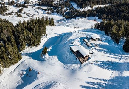
Katzenkopfhütte

End Point

Seekirchl Seefeld

Difficulty

Hard

Total Distance

17,00 km

Descent Meters

324 m

Highest Point

1332 m

Status

Closed

Map & Elevation Profile

Start Point

Katzenkopfhütte

End Point

Seekirchl Seefeld

Difficulty

Hard

Total Distance

17,00 km

Descent Meters

324 m

Highest Point

1332 m

Status

Closed

Cross-country Skiing

Best Time

Closed

Jan

Feb

Mar

Apr

May

Jun

Jul

Aug

Sep

Oct

Nov

Dec

Ski-nordic-skating

Ski-nordic-classic

+4

Access to the ski track:

B1 at Seekirchl

Tracks:

B1 - B10 - B13 - C11 - A3 - C2 - C1 - B1

An overview of the entire cross-country skiing network (incl. trail status) and helpful cross-country skiing information (ticket machines, waxing and service points, changing facilities, ...) can be found in the cross-country skiing report.

Description of direction:

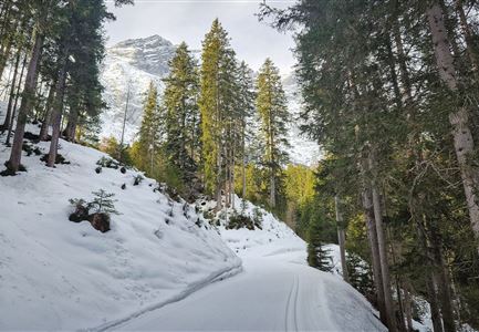
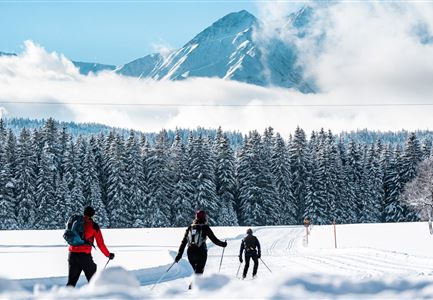
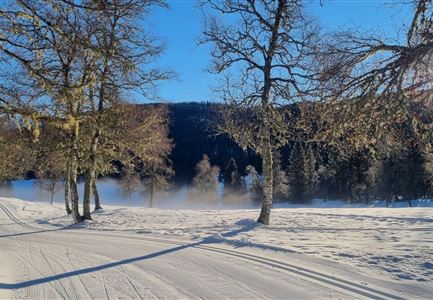
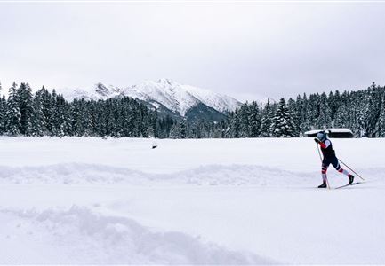
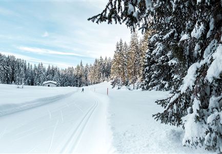
Start & Finish: Seekirchl Seefeld, Olympic swimming pool or Seefeld Sports Arena. Starting at the famous Seekirchl, this impressive cross-country skiing circuit leads through the most beautiful forest trails to the Wildmoos plateau, circles two aperiodic mountain lakes and finally leads back to the centre of Seefeld.

Start off on the B1 cross-country ski trail at Seekirchl to the Seefeld Sports Arena. From there, take the ascending section to the Seewaldalm and continue towards Mösern. Cross the main road via the subway and now change to the B10 on the other side of the road towards Möserer See. A short detour leads directly to the lake and the picturesque Möserer Seestubn

From here, take the B10 to Lottensee.

Read More...

Features & Characteristics

Similar Tour Suggestions

Leutasch Drohnenaufnahme

Cross-country Skiing

Katzenkopf circuit (classic & skating)

Length

22,00 km

Uphill

175 hm

Altitude

1379 hm

Difficulty

Hard

Closed
Loipe A9 Unterleutasch - Loipeneinstieg mit Blick auf das Wettersteingebirge

Cross-country Skiing

A9 - Unterleutasch

Length

13,70 km

Uphill

81 hm

Altitude

1092 hm

Difficulty

Easy

Closed
Luftaufnahme Loipe A2

Cross-country Skiing

A2 - Lenerwiese

Length

1,30 km

Uphill

11 hm

Altitude

1183 hm

Difficulty

Easy

Closed
C6 Loipe Buchen

Cross-country Skiing

C6 - Buchen

Length

3,10 km

Uphill

44 hm

Altitude

1323 hm

Difficulty

Hard

Closed
Loipe A5 Obern bei Neuschnee - Blick auf das Wettersteingebirge - Leutasch

Cross-country Skiing

A5 - Obern

Length

5,30 km

Uphill

29 hm

Altitude

1177 hm

Difficulty

Easy

Closed
B11 Waldloipe mit Langlaeuferin

Cross-country Skiing

B11 – Waldloipe

Length

2,70 km

Uphill

51 hm

Altitude

1183 hm

Difficulty

Medium

Closed
Blick-auf-B1-Loipe-in-Moesern

Cross-country Skiing

B1 - Mösern

Length

5,50 km

Uphill

110 hm

Altitude

1228 hm

Difficulty

Medium

Closed
A1 Nachtloipe, Paar beim Langlaufen

Cross-country Skiing

A1 - Nachtloipe - flood light trail

Length

3,00 km

Uphill

19 hm

Altitude

1189 hm

Difficulty

Easy

Closed