Start Point

Wettersteinhütte/ Wangalm

End Point

Rotmoosalm

Difficulty

Medium

Total Distance

5,00 km

Descent Meters

400 m

Ascent Meters

130 m

Highest Point

2132 m

Map & Elevation Profile

Start Point

Wettersteinhütte/ Wangalm

End Point

Rotmoosalm

Difficulty

Medium

Total Distance

5,00 km

Descent Meters

400 m

Ascent Meters

130 m

Highest Point

2132 m

Hiking

Best Time

Jan

Feb

Mar

Apr

May

Jun

Jul

Aug

Sep

Oct

Nov

Dec

Hiking tour

Hut hike

+4

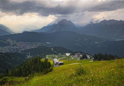
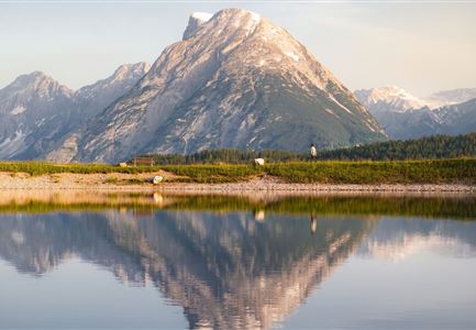
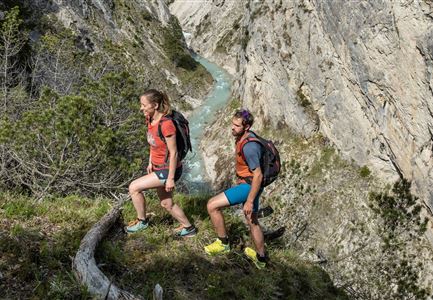
The ultimate panoramic hike: Stage 2 of the Leutasch family long-distance hike is a breathtaking alpine promenade. Mountain peaks and stunning views accompany you on your way to Rotmoosalm.

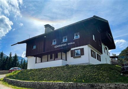
By the start of Day 2, you’ll understand why a multi-day hike is so special. Few things are better than a hearty breakfast on the sun terrace of an alpine hut. Paired with the unique morning atmosphere in the mountains and a dreamlike view, the sense of happiness isn’t just for the kids. Rested and energized, you’ll begin the last significant ascent of the hike.

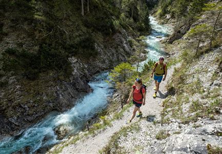
In total, there are 400 meters of elevation gain to conquer, but after the climb through the Scharnitztal to the “Südwandsteig”, the challenge feels much easier. What follows is probably the gentlest rollercoaster ride in the world, with a steady up and down. There’s plenty of time to take in the landscape and observe nature in detail. The towering limestone walls of the Dreitorspitze inspire awe, while the scattered boulders along the path silently invite children to climb on them.

The classic climbing walls of the Wetterstein – Schüsselkarspitze, Hochwanner, and others – stand tall like a grand backdrop, but even families can

Read More...

Features & Characteristics

Start Point

Wettersteinhütte/ Wangalm

End Point

Rotmoosalm

Family-friendly

Yes

Multiday hike

Yes

Multi-Day Tour Feature

Etappe
Videos

01

Similar Tour Suggestions

Wanderweg Hochleithenkopf - Ausblick ins Inntal.jpg

Hiking

Hike to the Hochleithenkopf

Length

8,20 km

Duration

02:30 h

Uphill

200 hm

Altitude

1187 hm

Difficulty

Medium

Partially open
Leutascher Geisterklamm - Wasserfallsteig (2).jpg

Hiking

​Hike through the Leutasch Spirit Gorge and to the Waterfall Trail

Length

5,00 km

Duration

02:30 h

Uphill

225 hm

Downhill

221 hm

Altitude

1061 hm

Difficulty

Medium

Partially open
Friedensglocke im Herbst - Frau steht am Geländer und blickt ins Inntal beim Sonnenuntergang- Sonnenstern an der Glocke.jpg

Hiking

Peace Bell Hiking Trail

Length

4,60 km

Duration

01:30 h

Uphill

92 hm

Downhill

96 hm

Altitude

1292 hm

Difficulty

Easy

Seefelder Spitze im Sonnenuntergang

Hiking

Hiking to the Seefelder Spitze, 2,221 m and Seefelder Joch 2,060 m

Length

7,40 km

Duration

04:30 h

Uphill

1010 hm

Downhill

167 hm

Altitude

2221 hm

Difficulty

Medium

Drohnenaufnahme Gschwandtkopf Speichersee - Person läuft entlang des Speichersees mit Hohe Munde im Hintergrund (3).jpg

Hiking

Hike on the Gschwandtkopf mountain

Length

11,60 km

Duration

03:30 h

Uphill

297 hm

Altitude

1485 hm

Difficulty

Medium

Partially open
Wanderung zur Eppzirler Alm im Sommer - Mann und Frau von hinten mit Eppzirler Alm.jpg

Hiking

Hike to the Eppzirler Alm alpine hut

Length

12,40 km

Duration

04:00 h

Uphill

475 hm

Altitude

1459 hm

Difficulty

Medium

Closed
Herbstwanderung am Oberen Wiesenweg_Paar läuft entlang von Wiese_Aufnahme gegen die Sonne mit Lärchen im Hintergrund.jpg

Hiking

Circular hiking traill Oberer & Unterer Wiesenweg

Length

6,10 km

Duration

02:00 h

Uphill

64 hm

Altitude

1194 hm

Difficulty

Easy

kinder_bei_infotafel_in_der_geisterklamm.jpg

Hiking

Short circular trail at the Spirit Gorge

Length

500 m

Duration

00:15 h

Uphill

10 hm

Altitude

1027 hm

Difficulty

Easy