Start Point
Parking Katzenkopflift (P14)
End Point
Parking Katzenkopflift (P14)
Difficulty
Medium
Total Distance
2,50 km
Ascent Meters
230 m
Total Time
01:00 h
Status
Sledding
Best Time
Jan
Feb
Mar
Apr
May
Jun
Jul
Aug
Sep
Oct
Nov
Dec
Tobogganing
Family-friendly
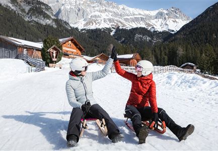
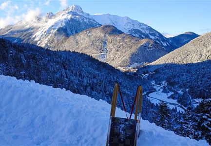
The moderately difficult Katzenkopfhütte tobogganing track, approximately 2.5 kilometers long, descends from Katzenkopf to Seewald/Leutasch with a gradient of about 12%, covering 230 meters of elevation loss. From the base station of the Katzenkopf lift, the elevation gain up to the Katzenkopfhütte at the summit can be comfortably managed via cable car. Alternatively, you can hike directly along the toboggan track from the parking lot, reaching the starting point in about 40 minutes. As the ascent takes place directly on the toboggan track, extra caution is required—for both hikers and sledders. Sturdy footwear is essential!
For delicious refreshments, sparkling drinks, and steaming hot beverages, the Katzenkopfhütte at the summit welcomes skiers, sledders, and hikers on its spacious sun terrace. At the Katzenkopf base station, you can also rent a toboggan, which can be returned there after your descent—or you can take another ride!
Important: As the moderately difficult track crosses the ski slope multiple times, extra caution is required during the descent.
Key facts about the tobogganing track:
• Length: approx. 2.5 kilometers
• Elevation gain: 230 m
• Lift assistance: yes
Tip: Night Sledding
Features & Characteristics
Stamina
Technique
Start Point
Parking Katzenkopflift (P14)
End Point
Parking Katzenkopflift (P14)
Family-friendly
Yes
Snow cover
Yes
Floodlit
Yes
Lift
Yes
Ascent separated
Yes
Toboggan hire
Yes
Night tobogganing
Yes
Type
Naturrodelbahn

