Start Point

Parkplatz Seewaldalm

End Point

Parkplatz Seewaldalm

Difficulty

Easy

Total Distance

12,1 km

Descent Meters

335 m

Highest Point

1316 m

Total Time

04:15 h

Status

Open

Start Point

Parkplatz Seewaldalm

End Point

Parkplatz Seewaldalm

Difficulty

Easy

Total Distance

12,1 km

Descent Meters

335 m

Highest Point

1316 m

Total Time

04:15 h

Status

Open

Hiking

Best Time

Open

Jan

Feb

Mar

Apr

May

Jun

Jul

Aug

Sep

Oct

Nov

Dec

Winter walking

Family hike

Route: Seewaldalm car park - Albrecht-Dürer-Weg - Broch-Weg - Pirschsteig - Lottensee - Ropferstub'm - Lottensee - Pirschsteig - Broch-Weg - Albrecht-Dürer-Weg - Seewaldalm car park

Parking and public transport:

P1 "Seewaldalm"

The fastest public connection to the starting point can be found directly in our route planner.

Take the train to Seefeld train station and continue with the Regio-/Skibus to the stop "Mösern Lifte Seewaldalm".

You can find all connections in real time with the Mobility-App "wegfinder".

Directions:

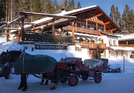
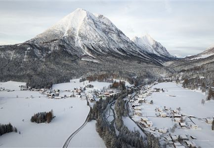
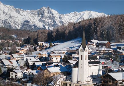
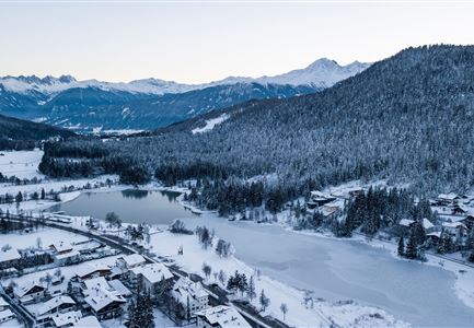
The hiking route from Mösern to Buchen starts directly from the Seewaldalm car park on the Möserer Landesstrasse and rewards you along the way with impressive views of the Inn Valley, deep snow-covered forests, an aperiodic mountain lake and a delicious hut stop at the Ropferstub'm in Buchen.

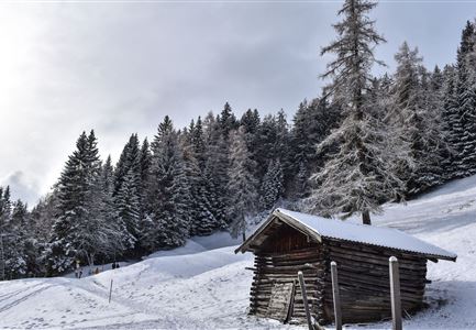
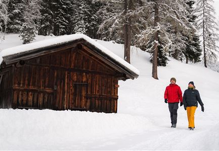
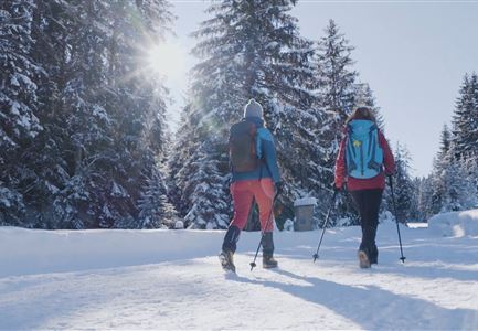
From the starting point at the car park, you first take the Albrecht-Dürer-Weg through a short stretch of forest and follow it through the intersection with the Möserer Seestraße until you reach the Broch-Weg. The Broch trail then leads in a straight line across a small car park onto the Pirschsteig (trail no. 2) and through the snow-covered Mühlwald forest to the trail junction at Lottensee (an aperiodic lake what you can

Read More...

Features & Characteristics

Start Point

Parkplatz Seewaldalm

End Point

Parkplatz Seewaldalm

Family hike

Yes

Map & Elevation Profile

Similar Tour Suggestions

Hiking

Route S4: To the alpine hut Rauthhütte

Length

4,0 km

Duration

03:00 h

Uphill

380 hm

Altitude

1587 hm

Difficulty

Medium

Hiking

Route S2: Gschwandtkopf

Length

5,0 km

Duration

02:30 h

Uphill

294 hm

Altitude

1470 hm

Difficulty

Medium

Hiking

W27: Winter circular hike Möserer See

Length

3,5 km

Duration

01:15 h

Uphill

97 hm

Altitude

1297 hm

Difficulty

Easy

Open

Hiking

Long distance hiking in snow section 2

Length

16,0 km

Duration

05:00 h

Uphill

402 hm

Downhill

324 hm

Altitude

1393 hm

Difficulty

Medium

Open

Sledding

Toboggan run Kreidegraben Scharnitz

Length

1,2 km

Duration

01:00 h

Downhill

134 hm

Difficulty

Medium

Closed

Hiking

W22: Winter hike from Scharnitz to Giessenbach

Length

3,4 km

Duration

01:00 h

Uphill

37 hm

Altitude

1013 hm

Difficulty

Easy

Open

Sledding

Toboggan run Hoher Sattel

Length

2,7 km

Duration

01:30 h

Downhill

350 hm

Difficulty

Hard

Closed

Hiking

W20: Winter hike to the Katzenkopfhütte

Length

5,1 km

Duration

02:15 h

Uphill

231 hm

Altitude

1353 hm

Difficulty

Easy

Open