Start Point
Rückenwind Seefeld
End Point
Rückenwind Seefeld
Difficulty
Easy
Total Distance
11,80 km
Descent Meters
260 m
Ascent Meters
260 m
Highest Point
1340 m
Running
Best Time
Jan
Feb
Mar
Apr
May
Jun
Jul
Aug
Sep
Oct
Nov
Dec
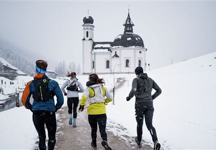
Winter-trailrunning
Directions:
From Rückenwind Seefeld through Klosterstraße to Seefeld village square, past the Tiroler Weinstube. After the roundabout, take a left turn and then a slight right to leave the town via Mühlwald-Weg to reach the forest inn, Triendlsäge. From the lowest point of the trail, the route gently ascends towards Leutascher Straße, which is crossed, turning right to continue alongside the road. After a sharp left curve, the trail junction towards Fludertal is reached, turning left towards Wildmoosalm. Upon reaching the alm, turn left and proceed more or less straight ahead, slightly downhill back to Seefeld.
Features & Characteristics
Start Point
Rückenwind Seefeld
End Point
Rückenwind Seefeld
