Start Point

Music Pavilion Weidach (P15)

End Point

Music Pavilion Weidach (P15)

Difficulty

Easy

Total Distance

3,80 km

Descent Meters

46 m

Highest Point

1156 m

Total Time

01:00 h

Status

Open

Map & Elevation Profile

Start Point

Music Pavilion Weidach (P15)

End Point

Music Pavilion Weidach (P15)

Difficulty

Easy

Total Distance

3,80 km

Descent Meters

46 m

Highest Point

1156 m

Total Time

01:00 h

Status

Open

Hiking

Best Time

Open

Jan

Feb

Mar

Apr

May

Jun

Jul

Aug

Sep

Oct

Nov

Dec

Winter walking

Stroller-friendly

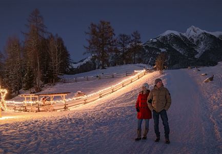
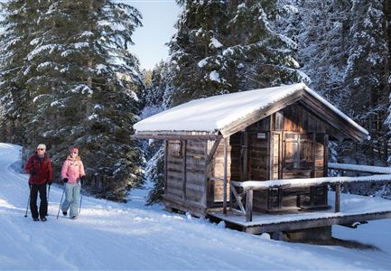
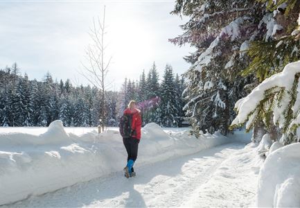
This is a cleared winter hiking trail. However, icy or slippery spots may still occur.

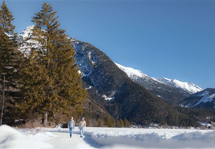
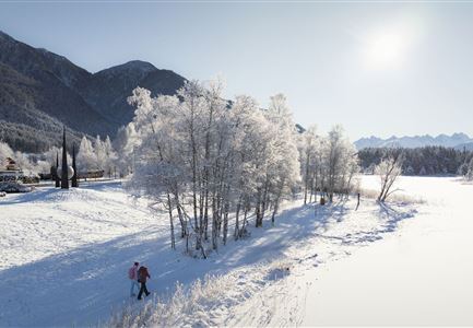
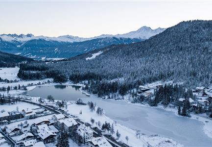
This exciting and beautiful winter hike leads from the music pavilion Leutasch around the snow-covered Weidachseeand back again. At the beginning of the music pavilion in the hamlet of Weidach, keep left along the road until you reach the Katznerkapelle. At the bus stop "Weidach Quellenhof" turn left to the Weidachsee. There you pass the lake café with its fishing business (in winter you can go ice fishing here) and follow the lake promenade around the Weidachsee.

If you get hungry on the way back, you can enjoy a freshly caught trout in the café or enjoy the idyllic lake view with a steaming hot drink. Afterwards, you can return to the starting point of the winter hike at the music pavilion, well fortified and warmed up. After your hike you can enjoy a break at the ErlebnisWelt Alpenbad Leutasch.

Features & Characteristics

Start Point

Music Pavilion Weidach (P15)

End Point

Music Pavilion Weidach (P15)

Stroller-friendly

Yes

Loop tour

Yes

Similar Tour Suggestions

Winterspatziergang mit Kindern - Katzenkopf Leutasch.jpg

Hiking

W20: Winter hike to the Katzenkopfhütte

Length

5,10 km

Duration

02:15 h

Uphill

231 hm

Altitude

1353 hm

Difficulty

Easy

Open
Winterwandern in der Region Seefeld_Drohnenaufnahme_Mann und Frau laufen entlang des Ufers des Wildsees (1).jpg

Hiking

W7: Winter circular hike Reith - Seefeld - Reith

Length

8,70 km

Duration

02:30 h

Uphill

118 hm

Downhill

121 hm

Altitude

1200 hm

Difficulty

Easy

Open
Triendlsäge im Winter - Gebäude mit Pferdekutsche.jpg

Hiking

W4: Winter Circular Hike Seefeld - Triendlsäge

Length

7,50 km

Duration

02:15 h

Uphill

147 hm

Altitude

1198 hm

Difficulty

Easy

Open
Luftaufnahme Wildsee im Winter - Seefeld.jpg

Hiking

W5: Winter Circular Hike Wildsee, Pfarrhügel & Seekirchl

Length

4,70 km

Duration

01:15 h

Uphill

22 hm

Altitude

1181 hm

Difficulty

Easy

Open
Leutasch - Winterwanderweg 15 Katzenloch-3.jpg

Hiking

Stage 2: From Seefeld to Scharnitz - Seefeld High Plateau Winter Multi-day Hike

Length

12,37 km

Duration

03:30 h

Uphill

59 hm

Downhill

278 hm

Altitude

1182 hm

Difficulty

Easy

Open
drohnenaufnahme_neuschnee_27.11._leutasch_blick_richtung_hohe_munde_1.jpg

Hiking

W10: Winter hike through the Leutasch Valley

Length

26,40 km

Duration

07:00 h

Uphill

173 hm

Downhill

177 hm

Altitude

1179 hm

Difficulty

Easy

Open
Winterwandern in der Region Seefeld_Mann und Frau laufen wandern im Wildmoos_Aufnahme von hinten mit verschneiten Ästen im Vordergrund (1).jpg

Hiking

W28: Winter Circular Hike Mösern-Wildmoosalm-Lottenseehütte

Length

11,00 km

Duration

03:15 h

Uphill

221 hm

Downhill

222 hm

Altitude

1366 hm

Difficulty

Easy

Open
Ropferstubm in Buchen bei Mösern - Ausblick

Hiking

W26: Winter Hike from Mösern to the Ropferstub'm

Length

12,20 km

Duration

04:00 h

Uphill

330 hm

Altitude

1314 hm

Difficulty

Easy

Open