Start Point

Bus stop "Leutasch Weidach Zentrum"

End Point

Bus stop "Leutasch Weidach Zentrum"

Difficulty

Easy

Total Distance

11,10 km

Descent Meters

111 m

Ascent Meters

108 m

Highest Point

1194 m

Total Time

03:10 h

Status

Open

Map & Elevation Profile

Start Point

Bus stop "Leutasch Weidach Zentrum"

End Point

Bus stop "Leutasch Weidach Zentrum"

Difficulty

Easy

Total Distance

11,10 km

Descent Meters

111 m

Ascent Meters

108 m

Highest Point

1194 m

Total Time

03:10 h

Status

Open

Hiking

Best Time

Open

Jan

Feb

Mar

Apr

May

Jun

Jul

Aug

Sep

Oct

Nov

Dec

Winter walking

Loop tour

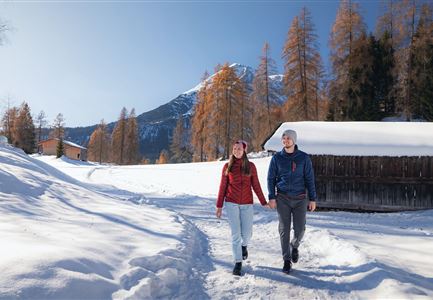
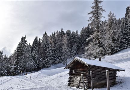
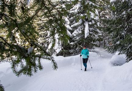
This is a cleared winter hiking trail. However, icy or slippery spots may still occur.

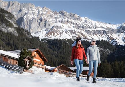
The Leutasch Farm Shop Tour starts in the Weidach district of Leutasch. If you’re arriving by public transport, the best stop to get off at is "Leutasch Weidach Zentrum", from where you can begin the tour. For those arriving by car, parking is available at P10 and P8, just after the bridge from the Weidach Zentrum.

You’ll want to start this culinary tour from farm to farm with an empty backpack that has plenty of space for all kinds of local treats. From Weidach, head along the main road towards the "Gasse" district. At the end of the main road, you’ll reach the restaurant Pizzeria Al Cavallino. Go right around the building (following the sign towards Mittenwald) and immediately left into the side street. At the end of the street, you'll find the family-run Pichler Bakery, known for its high-quality breads and baked goods—perfect for a picnic.

Stocked up with fresh bread (and for those who want, a sweet pastry for dessert), you head back from the Al Cavallino restaurant towards the main

Features & Characteristics

Stamina

Start Point

Bus stop "Leutasch Weidach Zentrum"

End Point

Bus stop "Leutasch Weidach Zentrum"

Loop tour

Yes
Similar Tour Suggestions

Ropferstubm in Buchen bei Mösern - Ausblick

Hiking

W26: Winter Hike from Mösern to the Ropferstub'm

Length

12,20 km

Duration

04:00 h

Uphill

330 hm

Altitude

1314 hm

Difficulty

Easy

Open
Triendlsäge im Winter - Gebäude mit Pferdekutsche.jpg

Hiking

W4: Winter Circular Hike Seefeld - Triendlsäge

Length

7,50 km

Duration

02:15 h

Uphill

147 hm

Altitude

1198 hm

Difficulty

Easy

Open
Weidachsee im Winter

Hiking

W9: Winter circular hike around Weidachsee lake

Length

3,80 km

Duration

01:00 h

Uphill

46 hm

Altitude

1156 hm

Difficulty

Easy

Open
Winterspatziergang mit Kindern - Katzenkopf Leutasch.jpg

Hiking

W20: Winter hike to the Katzenkopfhütte

Length

5,10 km

Duration

02:15 h

Uphill

231 hm

Altitude

1353 hm

Difficulty

Easy

Open
Winterwandern in der Region Seefeld_Drohnenaufnahme_Mann und Frau laufen entlang des Ufers des Wildsees (1).jpg

Hiking

W7: Winter circular hike Reith - Seefeld - Reith

Length

8,70 km

Duration

02:30 h

Uphill

118 hm

Downhill

121 hm

Altitude

1200 hm

Difficulty

Easy

Open
Leutasch - Winterwanderweg 15 Katzenloch

Hiking

W15: Winter circular hike through the Katzenloch

Length

7,10 km

Duration

02:30 h

Uphill

142 hm

Altitude

1280 hm

Difficulty

Easy

Open
Winterwandern Paar Seefeld Möserer Tal Mann zeigt auf Seekirchel.jpg

Hiking

Stage 1: From Seefeld via Reith to Leithen - Seefeld High Plateau Winter Multi-day Hike

Length

16,70 km

Duration

05:00 h

Uphill

266 hm

Downhill

267 hm

Difficulty

Easy

Open
Gaistalalm im Winter - Drohnennahaufnahme von der Seite mit Wettersteingebirge (2).jpg

Hiking

W12: Winter hike to the Gaistalalm

Length

8,20 km

Duration

02:30 h

Uphill

182 hm

Altitude

1366 hm

Difficulty

Easy

Open