Start Point

Parking lot P21 "Leutasch football field"

End Point

Parking lot P21 "Leutasch football field"

Difficulty

Easy

Total Distance

7,40 km

Descent Meters

128 m

Ascent Meters

128 m

Highest Point

1156 m

Total Time

02:00 h

Map & Elevation Profile

Start Point

Parking lot P21 "Leutasch football field"

End Point

Parking lot P21 "Leutasch football field"

Difficulty

Easy

Total Distance

7,40 km

Descent Meters

128 m

Ascent Meters

128 m

Highest Point

1156 m

Total Time

02:00 h

Hiking

Best Time

Jan

Feb

Mar

Apr

May

Jun

Jul

Aug

Sep

Oct

Nov

Dec

Hiking tour

Circular hike

+3

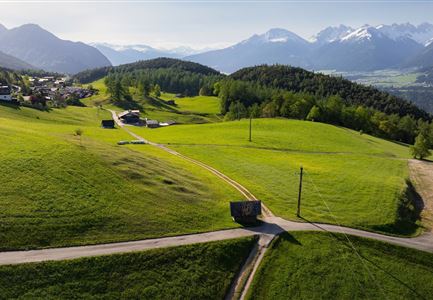
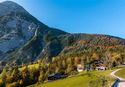
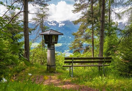
The hike starts at the Ganghofer Museum in Leutasch and takes you to the viewpoint on the Heights Path in just about ten minutes. From here, you get a great view of the Leutasch Valley and the Hohe Munde. A sun lounger invites you to relax for a moment and enjoy the beautiful scenery. The platform is a quiet spot to simply unwind and take in the surroundings.

For those who want to extend the hike a bit, the Heights Path offers a nice loop trail. The path leads from Kirchplatzl to Gasse and back – a relaxed route that takes you through peaceful nature.

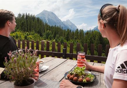
After the hike, you can stop at the Kühtaierhof to enjoy refreshing drinks and hearty, delicious food. A perfect way to end a lovely hike.

Features & Characteristics

Start Point

Parking lot P21 "Leutasch football field"

End Point

Parking lot P21 "Leutasch football field"

Family-friendly

Yes

Loop tour

Yes

Similar Tour Suggestions

Drohnenaufnahme Wettersteinhütte mit Nebel in den Bergen.jpg

Hiking

Circular hike Wettersteinhütte - Wangalm - Hämmermoosalm

Length

10,20 km

Duration

04:15 h

Uphill

562 hm

Altitude

1756 hm

Difficulty

Medium

kinder_bei_infotafel_in_der_geisterklamm.jpg

Hiking

Short circular trail at the Spirit Gorge

Length

500 m

Duration

00:15 h

Uphill

10 hm

Altitude

1027 hm

Difficulty

Easy

Reith - Wanderung Frau Häusl Kapelle - Bank und Bildstock mit Aussicht ins Inntal.jpg

Hiking

Circular hike panoramic path

Length

6,70 km

Duration

02:15 h

Uphill

289 hm

Altitude

1306 hm

Difficulty

Easy

Sonnenuntergang von der Rosshütte - Blick auf Bergbahn mit durch Wolken blitzende Sonne .jpg

Hiking

Geological Nature Trail 'Hermannstal'

Length

9,00 km

Duration

02:00 h

Uphill

573 hm

Altitude

1750 hm

Difficulty

Medium

Pleisenhütte im Sommer - Scharnitz - quer.jpg

Hiking

Hike to the Pleisen alpine hut

Length

15,90 km

Duration

05:00 h

Uphill

780 hm

Downhill

774 hm

Altitude

1757 hm

Difficulty

Medium

Scharnitz - Wanderung zur Birzlkapelle - Kapelle mit Pausenbank.jpg

Hiking

Hike to the Birzlkapelle chapel

Length

4,60 km

Duration

01:30 h

Uphill

175 hm

Altitude

1130 hm

Difficulty

Easy

Reith Wiesenweg im Frühling - Drohnenaufnahme strahlend grüne Wiese mit Blick zum Inntal.jpg

Hiking

Circular hiking traill Wiesenweg

Length

4,60 km

Duration

01:30 h

Uphill

109 hm

Altitude

1128 hm

Difficulty

Easy

Schausäge der Triendlsäge

Hiking

Circular walking path to the Inn Triendlsäge

Length

4,80 km

Duration

01:15 h

Uphill

101 hm

Altitude

1215 hm

Difficulty

Easy