We use cookies for your personalized browsing experience, to personalize content and ads, to provide social media features, and to analyze traffic to our website. We also share information about your use of our website with our social media, advertising and analytics partners. Our partners may combine this information with other data that you have provided to them or that they have collected as part of your use of the Services. (incl. US providers)

Start Point

train station Reith

End Point

bee academy reith

Difficulty

Easy

Total Distance

2,50 km

Descent Meters

72 m

Highest Point

1185 m

Total Time

01:00 h

Map & Elevation Profile

Start Point

train station Reith

End Point

bee academy reith

Difficulty

Easy

Total Distance

2,50 km

Descent Meters

72 m

Highest Point

1185 m

Total Time

01:00 h

Hiking

Best Time

Jan

Feb

Mar

Apr

May

Jun

Jul

Aug

Sep

Oct

Nov

Dec

Hiking tour

Thematic route

+4

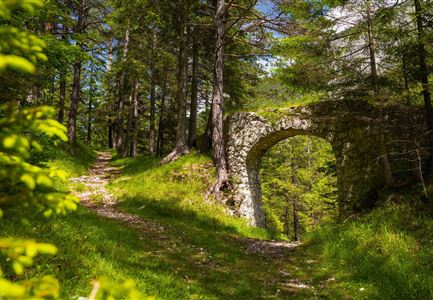
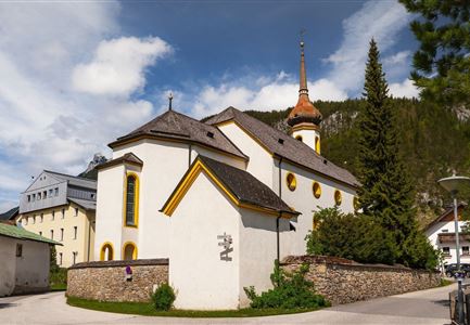
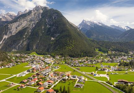
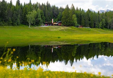
Route: Reith train station - Reither Waldweg - bee academy

Parking and public transport:

Parking facilities near the train station.

By train to Reith train station.

Find all connections in real time with the Mobility-App "wegfinder".

Directions:

The new and modernized bee educational trail stretches over two kilometers along the Reither Forest path. It features fourteen stations with information boards that introduce the fascinating world of wild and honey bees, as well as various beneficial insects of the forest.

Alpine emergency call:

Call: 140

Features & Characteristics

Start Point

train station Reith

End Point

bee academy reith

Family hike

Yes

Hike suitable for prams

Yes

Similar Tour Suggestions

Porta Claudia Scharnitz - Tor mit Weg.jpg

Hiking

Circular hiking trail Porta Claudia

Length

2,50 km

Duration

01:00 h

Uphill

125 hm

Downhill

120 hm

Altitude

1085 hm

Difficulty

Easy

Reith - Wanderung Frau Häusl Kapelle - Frau Häusl Kapelle mit Farn im Vordergrund.jpg

Hiking

On the rosary walking trail to the Frau Häusl chapel

Length

1,20 km

Duration

01:15 h

Uphill

100 hm

Altitude

1220 hm

Difficulty

Easy

Rauthhütte in Leutasch

Hiking

Circular hiking to Rauthhütte alpine hut & Inntal Valley view

Length

6,20 km

Duration

03:00 h

Uphill

439 hm

Altitude

1599 hm

Difficulty

Medium

Durchs Karwendeltal aufs Karwendelhaus - Scharnitz

Hiking

Hike to the Karwendelhaus

Length

36,00 km

Duration

11:15 h

Uphill

839 hm

Altitude

1765 hm

Difficulty

Medium

Reith - Wanderung Frau Häusl Kapelle - Bank und Bildstock mit Aussicht ins Inntal.jpg

Hiking

Circular hike panoramic path

Length

6,70 km

Duration

02:15 h

Uphill

289 hm

Altitude

1306 hm

Difficulty

Easy

Huette im Wald beim Oberen Wiesenweg in Leutasch

Hiking

Circular hiking traill Oberer & Unterer Wiesenweg

Length

4,30 km

Duration

01:30 h

Uphill

54 hm

Altitude

1193 hm

Difficulty

Easy

Hallerangeralm

Hiking

Bike & Hike Sunntigerspitze Summit, 2,321 m

Length

42,00 km

Duration

09:00 h

Uphill

1396 hm

Altitude

2321 hm

Difficulty

Medium

Brunschkopf_inkl_Logo.jpg

Hiking

Brunschkopf viewing platform via Geiernest from Seefeld, return via Wildmoosalm

Length

9,20 km

Duration

03:00 h

Uphill

325 hm

Altitude

1493 hm

Difficulty

Medium