Weather report
Partly cloudy
-9° / -1° CAmount of snow
On the mountains:
82 cm
at 1,200 m:
27 cm
Mountain lift facilities
24 out of 28 in operation
Alpine ski slopes
26 out of 29 open
Hiking Trail
Route: Mühlberg parking lot - Mühlberg - Mühlberg parking lot
Parking and public transport:
P4 "Mühlberg"
By train to Scharnitz train station (15 minutes walk to the starting point).
You can find all connections in real time with the Mobility-App "wegfinder".
Directions:
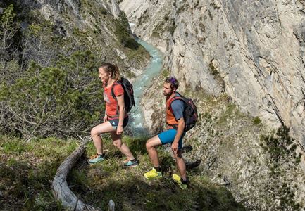
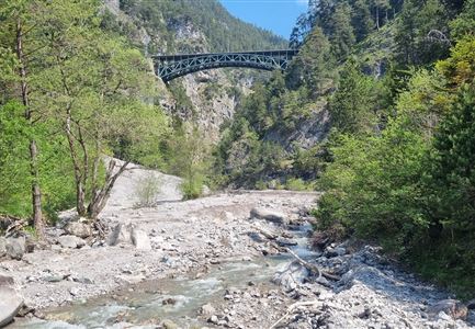
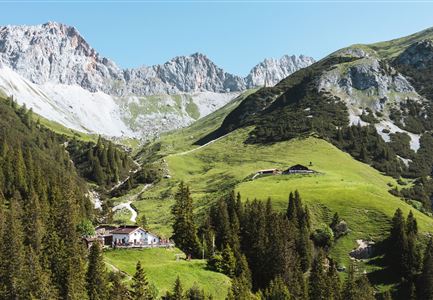
Starting point is at the Mühlberg parking lot P4. First follow the railroad tracks in the direction of Gießenbach/Seefeld until the forest road leads sharply to the left. Follow this forest road up to the plateau and the former lift station. Wonderful view to Scharnitz and the surrounding mountains. Return via the same path. As a variant, sure-footed hikers can also hike a piece through the so-called Bärenklamm. This path begins about 100 m before the Mühlberg parking lot and leads as a narrow path in steep serpentines (once a small stream must be crossed) upwards. The trail meets the forest road again after some time, as described above.
Alpine emergency call:
Call: 140