We use cookies for your personalized browsing experience, to personalize content and ads, to provide social media features, and to analyze traffic to our website. We also share information about your use of our website with our social media, advertising and analytics partners. Our partners may combine this information with other data that you have provided to them or that they have collected as part of your use of the Services. (incl. US providers)

Start Point

Parking space Klamm - Leutasch (P12)

End Point

Burggraben Leutasch

Difficulty

Easy

Total Distance

13,20 km

Descent Meters

13 m

Highest Point

1174 m

Total Time

03:45 h

Status

Open

Map & Elevation Profile

Start Point

Parking space Klamm - Leutasch (P12)

End Point

Burggraben Leutasch

Difficulty

Easy

Total Distance

13,20 km

Descent Meters

13 m

Highest Point

1174 m

Total Time

03:45 h

Status

Open

Hiking

Best Time

Open

Jan

Feb

Mar

Apr

May

Jun

Jul

Aug

Sep

Oct

Nov

Dec

Winter walking

Route: Klamm – Platzl – Aue – Kirchplatzl – Weidach – Ahrn – Reindlau – Burggraben 

Parking and public transport:

P12 "Parking Klamm".

The fastest public connection to the starting point can be found directly in our route planner.

By train to Seefeld train station and continue with the Regio-/Skibus to the stop "Leutasch Klamm".

You can find all connections in real time with the Mobility-App "wegfinder".

Directions:

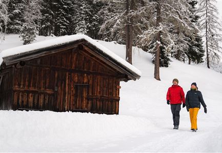
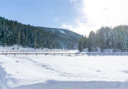
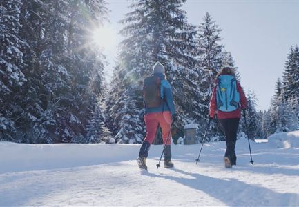
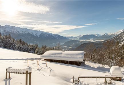
This idyllic winter hike crosses the wide Leutasch Valley from Klamm to Burggraben along the picturesque Leutascher Ache (Achweg).

The starting point of this easy walking route is located directly at the small (paid) parking lot in Klamm, leads from there first in southern direction to the information center and crosses the main road and the Leutascher Ache to the hiking trail.

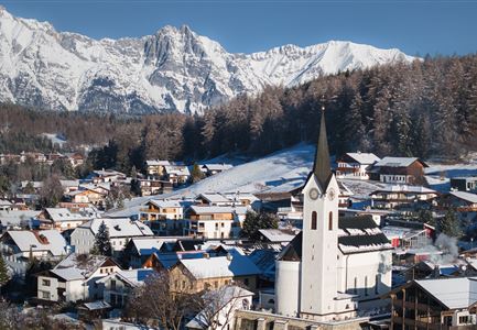
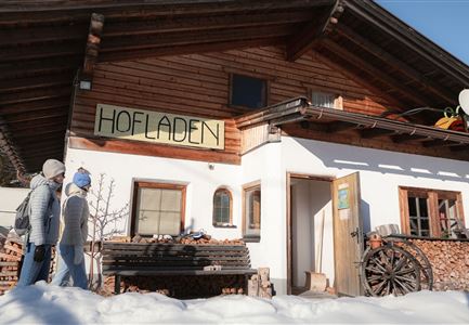
From here the hike follows the course of the blue river Ache and leads through the villages of Platzl and Aue to Kirchplatzl. Of course, there are always opportunities to take a break and enjoy the impressive landscape of the Leutascher Valley - either in the recreation areas along the Leutascher Ache or in one of the cozy Leutascher family businesses along the way. From the Leutascher Kirchplatzl

Read More...

Similar Tour Suggestions

Weitwandern Etappe 2 Teilnehmer vor Kapelle

Hiking

Long distance hiking in snow section 2

Length

16,00 km

Duration

05:00 h

Uphill

402 hm

Downhill

324 hm

Altitude

1393 hm

Difficulty

Medium

Open
Winterwandern - Winterwanderweg rund um den Brunschkopf - Weitwanderweg

Hiking

W3: Winter circular hike Seefeld-Mösern-Seefeld

Length

7,80 km

Duration

02:30 h

Uphill

183 hm

Downhill

179 hm

Altitude

1374 hm

Difficulty

Medium

Open
Winterlandschaft in Leithen bei Reith

Hiking

W2: Winter circular hike around the mountain Gschwandtkopf

Length

10,50 km

Duration

03:30 h

Uphill

226 hm

Downhill

222 hm

Altitude

1340 hm

Difficulty

Medium

Open
Kirche Moesern im Winter

Hiking

Long distance hiking in snow section 3

Length

14,00 km

Duration

06:00 h

Uphill

718 hm

Altitude

1719 hm

Difficulty

Medium

Open
Ausblick von der Wettersteinhütte

Hiking

W14: Winter hike to the Wettersteinhütte

Length

8,29 km

Duration

04:15 h

Uphill

510 hm

Altitude

1717 hm

Difficulty

Medium

Open
Winterwanderweg - Neuleutasch

Hiking

W16: Winter hike from Leutasch to Seefeld

Length

6,60 km

Duration

02:15 h

Uphill

164 hm

Altitude

1225 hm

Difficulty

Easy

Open
Winterwanderweg nach Seefeld - Auland

Hiking

W7: Winter circular hike Reith - Seefeld - Reith

Length

8,90 km

Duration

02:30 h

Uphill

122 hm

Altitude

1199 hm

Difficulty

Easy

Open
Leutasch_Rauthhütte.jpg

Hiking

W13: Winter hike to the Rauthhütte

Length

5,00 km

Duration

03:15 h

Uphill

425 hm

Altitude

1602 hm

Difficulty

Easy

Open