Start Point

Citizen and Tourism Service Reith

End Point

Citizen and Tourism Service Reith

Difficulty

Easy

Total Distance

4,50 km

Descent Meters

116 m

Ascent Meters

117 m

Highest Point

1128 m

Total Time

01:30 h

Status

Open

Map & Elevation Profile

Start Point

Citizen and Tourism Service Reith

End Point

Citizen and Tourism Service Reith

Difficulty

Easy

Total Distance

4,50 km

Descent Meters

116 m

Ascent Meters

117 m

Highest Point

1128 m

Total Time

01:30 h

Status

Open

Hiking

Best Time

Open

Jan

Feb

Mar

Apr

May

Jun

Jul

Aug

Sep

Oct

Nov

Dec

Winter walking

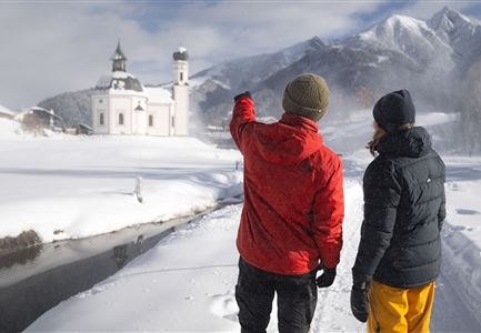
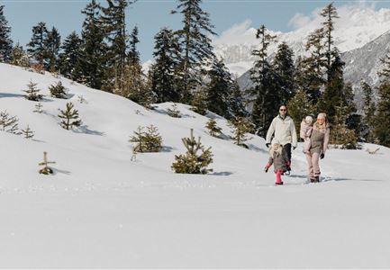
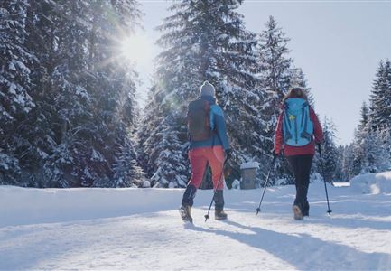
The educational culture trail between Reith and Leithen can also be walked in winter and leads along ten different historical monuments and sites through the countryside and history along the old roman road.

Station 1: Citizen and Tourism Service Reith
The Karwendelbahn railway was built according to the plans of the Innsbruck architect Josef Riehl and is still considered a masterpiece of engineering at that time because of the magnificent bridge and tunnel constructions. Our village is situated in an unmistakable environment on the so-called "Sunnroan" (sunny slope). Enjoy the wonderful view over the Inn valley.

Station 2: Music pavilion
From 1914 to 1918 all able-bodied men had to go to the front. 13 Reither did not return home from the 1st World War. During the 2nd World War (1939-1945) 15 from our community were killed in action. The end of the war is connected with the complete destruction of the village. There were flown 6 heavy bombing raids on our village to destroy the railroad bridge over the Gurgelbach.

Station 3: Sunnroanweg
22. houses were totally destroyed, another 12 houses as well as the church and school were severely damaged. Only after the reconstruction the appearance of

Features & Characteristics

Similar Tour Suggestions

Zwei Frauen am Winterwandern in Scharnitz.jpg

Hiking

W6: Winter Hike from Seefeld to Scharnitz

Length

8,30 km

Duration

05:00 h

Downhill

211 hm

Altitude

1178 hm

Difficulty

Easy

Closed
Hofladenrunde im Winter_zwei Frauen bei Thoamlhof laufen zum Hofladen.jpg

Hiking

Winter Circular Hike Leutasch Farm Shop

Length

11,10 km

Duration

03:10 h

Uphill

111 hm

Downhill

108 hm

Altitude

1194 hm

Difficulty

Easy

Open
Winterwandern im Schnee (2) (2).jpg

Hiking

Stage 4: From Weidach through Fludertal and over Wildmoos to Seefeld - Seefeld High Plateau Winter Multi-day Hike

Length

7,85 km

Duration

02:30 h

Uphill

230 hm

Downhill

177 hm

Altitude

1339 hm

Difficulty

Easy

Open
Winterwandern Paar Seefeld Möserer Tal Paar läuft vor Seekirchel (2).jpg

Hiking

W29: Winter circular hike through the Möserer Valley

Length

3,10 km

Duration

01:00 h

Uphill

10 hm

Altitude

1197 hm

Difficulty

Easy

Open
Leutasch - Winterwanderweg 15 Katzenloch-3.jpg

Hiking

Stage 2: From Seefeld to Scharnitz - Seefeld High Plateau Winter Multi-day Hike

Length

12,37 km

Duration

03:30 h

Uphill

59 hm

Downhill

278 hm

Altitude

1182 hm

Difficulty

Easy

Open
Triendlsäge im Winter - Gebäude mit Pferdekutsche.jpg

Hiking

W4: Winter Circular Hike Seefeld - Triendlsäge

Length

7,50 km

Duration

02:15 h

Uphill

147 hm

Altitude

1198 hm

Difficulty

Easy

Open
Winterwandern im Gaistal_zwei Frauen laufen von der Hämmermoosalm weg.jpg

Hiking

W11: Winter hike to the Hämmermoosalm

Length

4,00 km

Duration

02:00 h

Uphill

173 hm

Downhill

171 hm

Altitude

1410 hm

Difficulty

Easy

Open
Leutasch - Winterwanderweg 15 Katzenloch

Hiking

W15: Winter circular hike through the Katzenloch

Length

7,10 km

Duration

02:30 h

Uphill

142 hm

Altitude

1280 hm

Difficulty

Easy

Open