Start Point

Bus stop "Weidach Kreithkapelle"

End Point

Seefeld village centre

Difficulty

Easy

Total Distance

7,85 km

Descent Meters

230 m

Ascent Meters

177 m

Highest Point

1339 m

Total Time

02:30 h

Status

Open

Map & Elevation Profile

Start Point

Bus stop "Weidach Kreithkapelle"

End Point

Seefeld village centre

Difficulty

Easy

Total Distance

7,85 km

Descent Meters

230 m

Ascent Meters

177 m

Highest Point

1339 m

Total Time

02:30 h

Status

Open

Hiking

Best Time

Open

Jan

Feb

Mar

Apr

May

Jun

Jul

Aug

Sep

Oct

Nov

Dec

Winter walking

Multiday hike

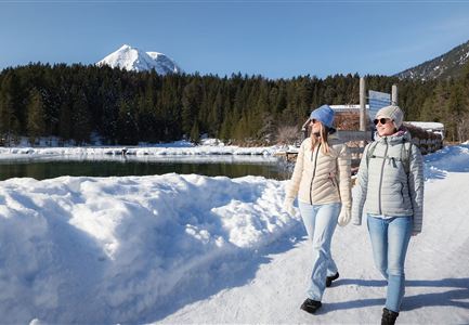
Leutasch through the Fludertal and the Wildmoos conservation area to Seefeld. A shorter but equally beautiful route on day 4 of the Seefeld High Plateau Winter Multi-day Hike gives you the opportunity to enjoy some free time in Seefeld.

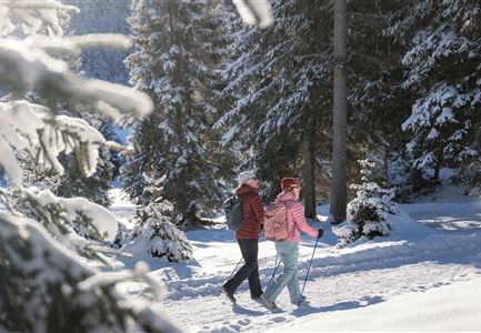
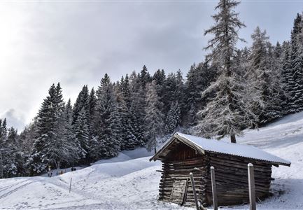
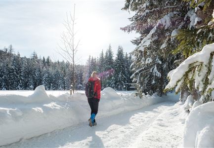
Stage 4 takes us back to Leutasch, this time through the picturesque Fludertal and the Wildmoos.conservation area. Take the bus from Seefeld train station to Leutasch - the tour starts at the "Weidach Kreithkapelle" bus stop. From here, follow the narrow road to the base station of the Katzenkopf ski area. At the foot of Katzenkopf, turn left following the signs towards Seefeld. After a few minutes, the trail is marked through Fludertal on the right - one of the most beautiful areas for winter hiking.

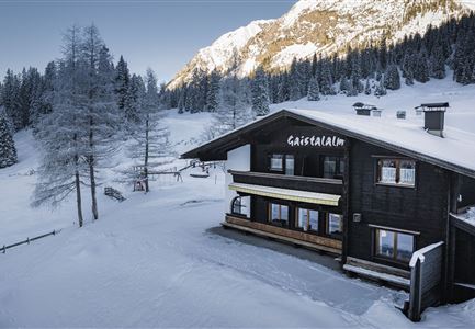
For about an hour, the path leads through forests, clearings, and open spaces towards Wildmoos. At the Wildmoos-Katzenkopf intersection, follow the signs left towards Wildmoosalm. This is a great spot for a refreshment break and is an ideal photo opportunity too. Continue on the path, past the bus stop, and after about 200 metres, turn right and follow the signs towards Seefeld.

The trail brings you to the residential area at Kirchwald. Continue

Read More...

Features & Characteristics

Stamina

Technique

Start Point

Bus stop "Weidach Kreithkapelle"

End Point

Seefeld village centre

Multiday hike

Yes

Similar Tour Suggestions

Drohnenbild Gschwandtkopf und Schanze bei Sonneaufgang.jpg

Hiking

W2: Winter Circular Hike around the mountain Gschwandtkopf

Length

10,50 km

Duration

03:30 h

Uphill

226 hm

Downhill

222 hm

Altitude

1342 hm

Difficulty

Medium

Open
Leutasch - Winterwanderweg 15 Katzenloch

Hiking

W15: Winter circular hike through the Katzenloch

Length

7,10 km

Duration

02:30 h

Uphill

142 hm

Altitude

1280 hm

Difficulty

Easy

Open
Winterwandern in der Region Seefeld_Mann und Frau laufen wandern im Wildmoos_Aufnahme von hinten mit verschneiten Ästen im Vordergrund (1).jpg

Hiking

W28: Winter Circular Hike Mösern-Wildmoosalm-Lottenseehütte

Length

11,00 km

Duration

03:15 h

Uphill

221 hm

Downhill

222 hm

Altitude

1366 hm

Difficulty

Easy

Open
Drohnenaufnahme Wettersteinhütte - Nahaufnahme mit Blick ins Wettersteingebirge (1).jpg

Hiking

Stage 3: From Mösern to Wettersteinhütte – Tyrol’s 1. Winter Multi-day Hike

Length

14,00 km

Duration

06:00 h

Uphill

718 hm

Altitude

1719 hm

Difficulty

Medium

Open
Katzenkopfhütte Winter

Hiking

Stage 1: Extension to Katzenkopf (2.9 km) – Tyrol’s 1. Winter Multi-day Hike

Length

2,90 km

Duration

01:15 h

Uphill

245 hm

Altitude

1360 hm

Difficulty

Medium

Open
100000 Lichter-Weg Seefeld_Paar steht auf Pfarrhügel_Reither Spitze in der Distanz.jpg

Hiking

100.000 Lights Path

Length

1,70 km

Duration

00:30 h

Uphill

30 hm

Downhill

39 hm

Altitude

1206 hm

Difficulty

Easy

Open
Ropferstubm in Buchen bei Mösern - Ausblick

Hiking

W26: Winter Hike from Mösern to the Ropferstub'm

Length

12,20 km

Duration

04:00 h

Uphill

330 hm

Altitude

1314 hm

Difficulty

Easy

Open
Blick auf Scharnitz im Winter

Hiking

W6: Winter Hike from Seefeld to Scharnitz

Length

8,30 km

Duration

05:00 h

Downhill

211 hm

Altitude

1178 hm

Difficulty

Easy

Closed