Start Point

Mösern information office

End Point

Leutasch Music Pavilion

Difficulty

Medium

Total Distance

14,70 km

Descent Meters

200 m

Ascent Meters

290 m

Highest Point

1310 m

Total Time

04:00 h

Status

Open

Map & Elevation Profile

Start Point

Mösern information office

End Point

Leutasch Music Pavilion

Difficulty

Medium

Total Distance

14,70 km

Descent Meters

200 m

Ascent Meters

290 m

Highest Point

1310 m

Total Time

04:00 h

Status

Open

Hiking

Best Time

Open

Jan

Feb

Mar

Apr

May

Jun

Jul

Aug

Sep

Oct

Nov

Dec

Winter walking

Multiday hike

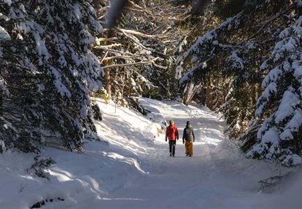
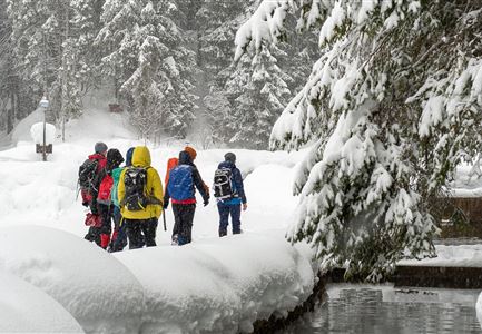
This is a cleared winter hiking trail. However, icy or slippery spots may still occur.

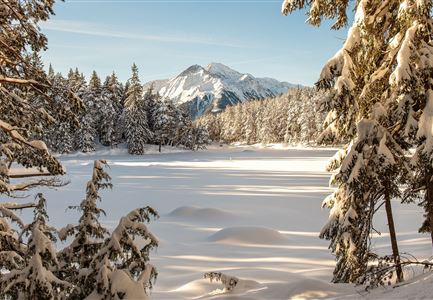
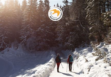
The third day’s stage starts at the Mösern Information Office and follows panoramic trails No. 2 and No. 27 to the scenic Ropferstub’m. From the information office, the route first leads slightly downhill before turning right off the main road to the Broch-Weg. Pass the Hotel Habhof, follow the road uphill to the Peace Bell, and continue past it (be sure to take a moment here to enjoy the view!).

At the next junction, keep right and follow the signs to Lottenseehütte – for a short stretch you’ll be on a paved road. At the next intersection, turn left toward Buchen (trail No. 27) and follow the signs to Ropferstub’m. (Those who wish can first make a short detour to Lottenseehütte by turning right at the junction.)

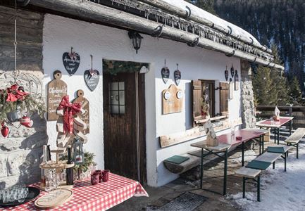
At Ropferstub’m, a stop at the inn and the adjacent mountain farming museum is highly recommended – you’ll find plenty of fascinating insights into life in the Alps. From here, trail No. 24 continues through the Katzenloch, an old “forced pass” once used by

Features & Characteristics

Start Point

Mösern information office

End Point

Leutasch Music Pavilion

Multiday hike

Yes

Multi-Day Tour Feature

Etappe
Similar Tour Suggestions

Winterwandern im Schnee (1) (3).jpg

Hiking

W21: Winter circular hike Fludertal - Katzenkopf

Length

8,02 km

Duration

02:45 h

Uphill

261 hm

Altitude

1369 hm

Difficulty

Medium

Open
Weitwandern Etappe 1 Teilnehmer bei Bach (1).jpg

Hiking

Stage 1: From Burggraben/Schanz to Weidach – Tyrol’s 1. Winter Multi-day Hike

Length

14,20 km

Duration

03:30 h

Uphill

140 hm

Downhill

58 hm

Altitude

1162 hm

Difficulty

Medium

Open
Drohnenaufnahme Rauthhütte - Hütte von der Seite mit nebeligem Inntal.jpg

Hiking

W13: Winter Hike to the Rauthhütte

Length

5,00 km

Duration

03:00 h

Uphill

424 hm

Downhill

418 hm

Altitude

1602 hm

Difficulty

Medium

Open
Drohnenbild Gschwandtkopf und Schanze bei Sonneaufgang.jpg

Hiking

W2: Winter Circular Hike around the mountain Gschwandtkopf

Length

10,50 km

Duration

03:30 h

Uphill

226 hm

Downhill

222 hm

Altitude

1342 hm

Difficulty

Medium

Open
Winterwandern im Wildmoos_Wanderinnen laufen durch Wald bei viel Schnee.jpg

Hiking

W18: Winter hike Schlagweg - Rauthgatter - Wildmoos

Length

11,60 km

Duration

03:25 h

Uphill

223 hm

Altitude

1345 hm

Difficulty

Medium

Open
Drohnenaufnahme Reith im Winter - Ortszentrum mit Kirche und Reither Spitze im Hintergrund.jpg

Hiking

W33: Winter circular hike Hölltal

Length

5,00 km

Duration

02:00 h

Uphill

192 hm

Downhill

186 hm

Altitude

1303 hm

Difficulty

Medium

Open
Winterwandern Paar Möserer See Paar läuft durch Wald Aufnahme von hinten (2).jpg

Hiking

W3: Winter Circular Hike Seefeld-Mösern-Seefeld

Length

7,80 km

Duration

02:30 h

Uphill

183 hm

Downhill

179 hm

Altitude

1374 hm

Difficulty

Medium

Open
Winterwandern-am-Wildmoos-Plateau-(1)_WaLogo.jpg

Hiking

W1: Winter Circular Hike Seefeld-Mösern-Wildmoos

Length

13,00 km

Duration

03:30 h

Uphill

247 hm

Altitude

1333 hm

Difficulty

Medium

Open