Start Point

Parking lot P15 at the music pavilion Leutasch

End Point

Parking lot P15 at the music pavilion Leutasch

Difficulty

Medium

Total Distance

8,02 km

Descent Meters

261 m

Ascent Meters

261 m

Highest Point

1369 m

Total Time

02:45 h

Status

Open

Map & Elevation Profile

Start Point

Parking lot P15 at the music pavilion Leutasch

End Point

Parking lot P15 at the music pavilion Leutasch

Difficulty

Medium

Total Distance

8,02 km

Descent Meters

261 m

Ascent Meters

261 m

Highest Point

1369 m

Total Time

02:45 h

Status

Open

Hiking

Best Time

Open

Jan

Feb

Mar

Apr

May

Jun

Jul

Aug

Sep

Oct

Nov

Dec

Winter walking

Loop tour

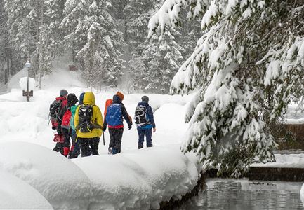
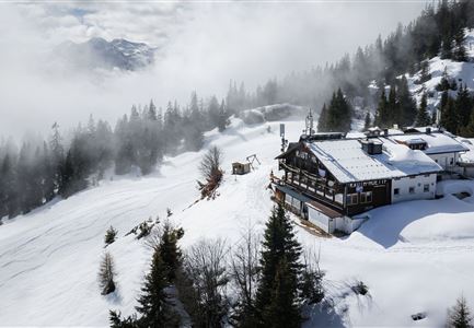
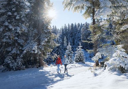
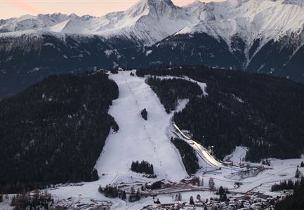
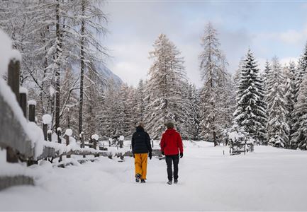
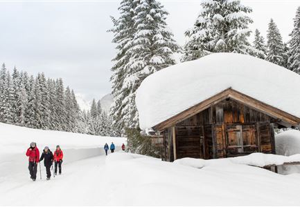
This hike through the snow-covered Fludertal offers encounters with animal tracks in the forest, breathtaking views of the surrounding mountains, and at the summit of Katzenkopf, a cozy stop on the sun terrace or by the fireplace in the traditional lounge.

Starting at parking lot P15 near the Leutasch music pavilion, follow the main road towards the Katzenkopf base station. You can already sense the culinary highlight waiting at the summit. If you want to avoid the climb, you can take the cable car. Alternatively, the trail leads left between the houses to the edge of the forest and then continues on the hiking path to Neuleutasch. After a short section through the forest, you cross the main road, walk a bit along the street, and take the first turn into the forest.

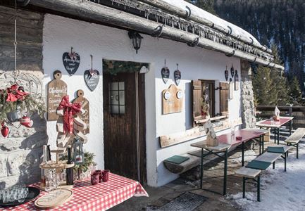
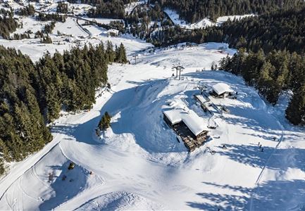
The trail then winds gently through the picturesque Fludertal in soft switchbacks. Next, you follow a wide forest loop (keep right), which leads up to the summit of Leutascher Katzenkopf. On the sun terrace of the small Katzenkopfhütte (1,360 m), you can enjoy a beautiful panoramic view as well as delicious Kaiserschmarrn. After a

Read More...

Similar Tour Suggestions

Weitwandern Etappe 2 Teilnehmer am Weg bei Huette

Hiking

Stage 2: From Leutasch to Mösern – Tyrol’s 1. Winter Multi-day Hike

Length

16,00 km

Duration

05:00 h

Uphill

402 hm

Downhill

324 hm

Altitude

1393 hm

Difficulty

Medium

Open
Drohnenaufnahme Reith im Winter - Ortszentrum mit Kirche und Reither Spitze im Hintergrund.jpg

Hiking

W33: Winter circular hike Hölltal

Length

5,00 km

Duration

02:00 h

Uphill

192 hm

Downhill

186 hm

Altitude

1303 hm

Difficulty

Medium

Open
Drohnenaufnahme Wettersteinhütte - Nahaufnahme mit Blick ins Wettersteingebirge (1).jpg

Hiking

Stage 3: From Mösern to Wettersteinhütte – Tyrol’s 1. Winter Multi-day Hike

Length

14,00 km

Duration

06:00 h

Uphill

718 hm

Altitude

1719 hm

Difficulty

Medium

Open
Winterwandern Paar Oberer Wiesenweg Aufnahme von Paar von Hinten laufen neben Zaun (1).jpg

Hiking

Stage 4: From Wettersteinhütte to Leutasch – Tyrol’s 1. Winter Multi-day Hike

Length

9,50 km

Duration

03:30 h

Uphill

25 hm

Altitude

1717 hm

Difficulty

Medium

Open
Winterwandern-am-Wildmoos-Plateau-(1)_WaLogo.jpg

Hiking

W1: Winter Circular Hike Seefeld-Mösern-Wildmoos

Length

13,00 km

Duration

03:30 h

Uphill

247 hm

Altitude

1333 hm

Difficulty

Medium

Open
Weitwandern Etappe 1 Teilnehmer bei Bach (1).jpg

Hiking

Stage 1: From Schanz to Weidach – Tyrol’s 1. Winter Multi-day Hike

Length

14,20 km

Duration

03:30 h

Uphill

140 hm

Downhill

58 hm

Altitude

1162 hm

Difficulty

Medium

Open
Katzenkopfhütte Winter

Hiking

Stage 1: Extension to Katzenkopf (2.9 km) – Tyrol’s 1. Winter Multi-day Hike

Length

2,90 km

Duration

01:15 h

Uphill

245 hm

Altitude

1360 hm

Difficulty

Medium

Open
Wettersteinhütte im Winter - Aufnahme von der Seite mit Sitzbänken.jpg

Hiking

W14: Winter hike to the Wettersteinhütte

Length

8,30 km

Duration

04:00 h

Uphill

504 hm

Altitude

1717 hm

Difficulty

Medium

Open