We use cookies for your personalized browsing experience, to personalize content and ads, to provide social media features, and to analyze traffic to our website. We also share information about your use of our website with our social media, advertising and analytics partners. Our partners may combine this information with other data that you have provided to them or that they have collected as part of your use of the Services. (incl. US providers)

Start Point

Seefeld Seekirchl

End Point

Seefeld Seekirchl

Difficulty

Medium

Total Distance

13,00 km

Descent Meters

247 m

Highest Point

1333 m

Total Time

03:30 h

Map & Elevation Profile

Start Point

Seefeld Seekirchl

End Point

Seefeld Seekirchl

Difficulty

Medium

Total Distance

13,00 km

Descent Meters

247 m

Highest Point

1333 m

Total Time

03:30 h

Hiking

Best Time

Jan

Feb

Mar

Apr

May

Jun

Jul

Aug

Sep

Oct

Nov

Dec

Winter walking

Loop tour

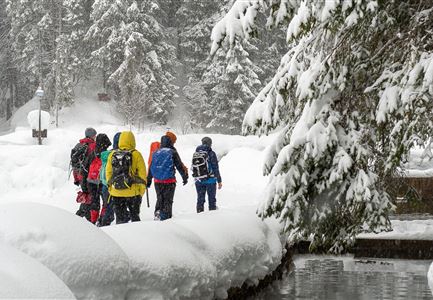
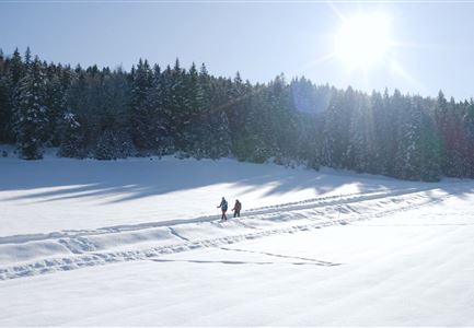
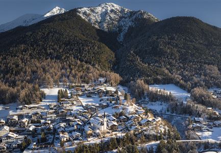
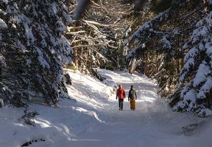
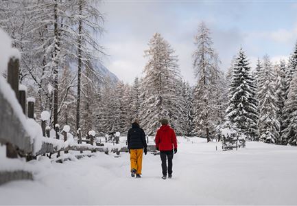
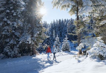
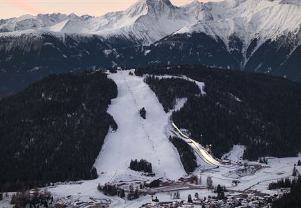
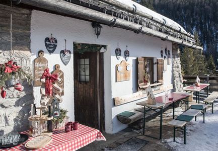
This 13-kilometer winter loop takes you through Mösern and Wildmoos, offering a moderately challenging hike through snow-covered forests around the Brunschkopf. Along the way, you’ll pass a picturesque lake, cozy huts, and be rewarded with panoramic views of Seefeld and the surrounding mountains on the return.

Route: Seefeld Seekirchl – WM Tennis Hall – Kirchwald – Möserer Mähder – Möserer See – Broch-Weg – Peace Bell – Pirschsteig – Lottenseehütte – Wildmoosalm – Hörmannweg – Seefeld Seekirchl

Description:
The hike starts at Seekirchl in Seefeld, just a few minutes' walk from the Seefeld Railway Station and nearby paid parking areas. From here, follow the main road past the WM Tennis Hall, where trail No. 2 to Mösern begins. This path takes you through the Kirchwald forest and across the Möserer Mähder meadows. In Mösern, cross the Albrecht-Dürer-Weg and continue through the forest until you reach the turnoff to the lake Möserer See. A short detour will take you around this romantic lake, where you can stop at the cozy Möserer Seestub’n. Afterwards, follow the Broch-Weg past the Peace Bell, head downhill, and continue straight along the Pirschsteig (trail

Read More...

Similar Tour Suggestions

Weitwandern Etappe 2 Teilnehmer am Weg bei Huette

Hiking

1st Winter Long Distance Trail Section 2: From Leutasch to Mösern

Length

16,00 km

Duration

05:00 h

Uphill

402 hm

Downhill

324 hm

Altitude

1393 hm

Difficulty

Medium

Katzenkopfhütte Winter

Hiking

1st Winter Long Distance Trail Section: Extension up the mountain Katzenkopf (2.9 km)

Length

2,90 km

Duration

01:15 h

Uphill

245 hm

Altitude

1360 hm

Difficulty

Medium

Weitwandern Etappe 1 Teilnehmer bei Bach (1).jpg

Hiking

1st Winter Long Distance Trail Section 1: From Schanz to Weidachsee

Length

14,20 km

Duration

03:30 h

Uphill

140 hm

Downhill

58 hm

Altitude

1162 hm

Difficulty

Medium

Winterwandern im Leutaschtal - Unterkelle

Hiking

W16: Winter hike from Leutasch to Seefeld

Length

6,60 km

Duration

02:15 h

Uphill

164 hm

Altitude

1225 hm

Difficulty

Easy

Rauthhütte im Winter

Hiking

W13: Winter hike to the Rauthhütte

Length

5,00 km

Duration

03:15 h

Uphill

425 hm

Altitude

1602 hm

Difficulty

Easy

Winterwandern Wildmoos.jpg

Hiking

W19: Winter hike Wildmoosalm - Fludertal

Length

16,20 km

Duration

05:30 h

Uphill

377 hm

Altitude

1342 hm

Difficulty

Easy

Leutasch - Winterwanderweg 15 Katzenloch

Hiking

W15: Winter circular hike through the Katzenloch

Length

7,10 km

Duration

02:30 h

Uphill

142 hm

Altitude

1280 hm

Difficulty

Easy

Winterwandern im Schnee (2) (2).jpg

Hiking

Seefeld High Plateau Winter Long-Distance Hike Section 4: From Weidach through the Fludertal and over Wildmoos to Seefeld

Length

7,85 km

Duration

02:30 h

Uphill

230 hm

Downhill

177 hm

Altitude

1339 hm

Difficulty

Easy