Start Point

Reith railway station

End Point

Reith railway station

Difficulty

Medium

Total Distance

5,0 km

Descent Meters

193 m

Highest Point

1303 m

Total Time

02:15 h

Status

Closed

Start Point

Reith railway station

End Point

Reith railway station

Difficulty

Medium

Total Distance

5,0 km

Descent Meters

193 m

Highest Point

1303 m

Total Time

02:15 h

Status

Closed

Hiking

Best Time

Closed

Jan

Feb

Mar

Apr

May

Jun

Jul

Aug

Sep

Oct

Nov

Dec

Winter walking

Family hike

+1

Route: Reith railway station - Hölltal valley - Reith railway station

Parking and public transport:

Parking facilities near the train station.

The fastest public connection to the starting point can be found directly in our route planner.

By train to Reith train station.

Find all connections in real time with the Mobility-App "wegfinder".

Directions:

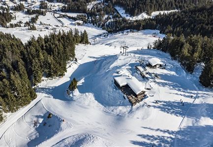
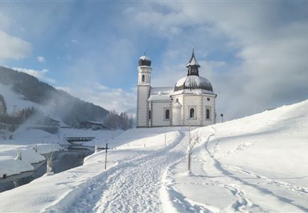
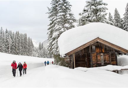
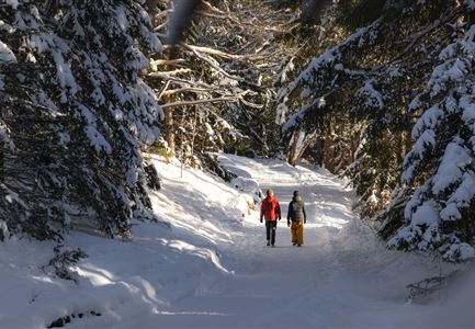
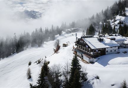
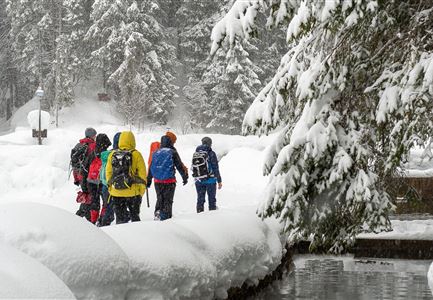
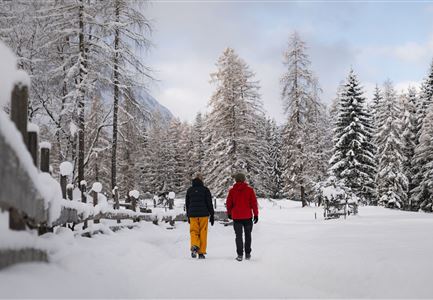
This spectacular panoramic loop leads five kilometres through the snow-covered winter forests above Reith with picturesque views.

From the starting point at Reith station, follow the railway line along the subway and then along the edge of the forest for a while until the signposted panoramic hiking trail branches off to the right. The gravel path now leads through the Hölltal valley back to Reith. In the village, you then reach the old Roman road and turn right across the Reither village square (and the cosy little café of the Reither bakery) to find your way back to the starting point at the station a little later.

Alpine emergency call:

Call: 140

Features & Characteristics

Refreshment stops

Show More

Start Point

Reith railway station

End Point

Reith railway station

Family hike

Yes

Loop tour

Yes

Map & Elevation Profile

Similar Tour Suggestions

Hiking

Long distance hiking in snow section 2

Length

16,0 km

Duration

05:00 h

Uphill

402 hm

Downhill

324 hm

Altitude

1393 hm

Difficulty

Medium

Closed

Sledding

Rodelhügel Seefeld

Length

118 m

Downhill

10 hm

Difficulty

Easy

Closed

Hiking

W4: Winter circular hike Seefeld - Triendlsäge

Length

6,8 km

Duration

02:15 h

Uphill

132 hm

Altitude

1195 hm

Difficulty

Easy

Closed

Hiking

W2: Winter circular hike around the mountain Gschwandtkopf

Length

10,5 km

Duration

03:30 h

Uphill

226 hm

Altitude

1340 hm

Difficulty

Medium

Closed

Hiking

W26: Winter hike Mösern - Ropferstub'm

Length

12,1 km

Duration

04:15 h

Uphill

335 hm

Altitude

1316 hm

Difficulty

Easy

Closed

Sledding

Rodelbahn Mühlberg

Length

2,5 km

Duration

01:30 h

Difficulty

Medium

Closed

Hiking

Route S7: To Chapel Birzlkapelle

Length

5,0 km

Duration

02:00 h

Uphill

162 hm

Altitude

1129 hm

Difficulty

Medium

Hiking

W22: Winter hike from Scharnitz to Giessenbach

Length

3,4 km

Duration

01:00 h

Uphill

37 hm

Altitude

1013 hm

Difficulty

Easy

Closed