Start Point

Leutasch parking Salzbach (P5)

End Point

Leutasch Geisterklamm (gorge)

Difficulty

Easy

Total Distance

32,46 km

Descent Meters

200 m

Ascent Meters

205 m

Highest Point

1236 m

Total Time

01:10 h

Map & Elevation Profile

Start Point

Leutasch parking Salzbach (P5)

End Point

Leutasch Geisterklamm (gorge)

Difficulty

Easy

Total Distance

32,46 km

Descent Meters

200 m

Ascent Meters

205 m

Highest Point

1236 m

Total Time

01:10 h

Cycling

Best Time

Jan

Feb

Mar

Apr

May

Jun

Jul

Aug

Sep

Oct

Nov

Dec

Mountainbike tour

Through the idyllic Leutasch valley to the Spirit Gorge
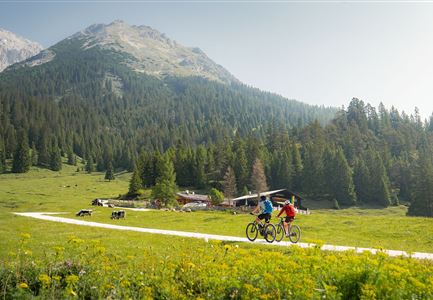
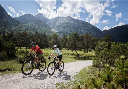
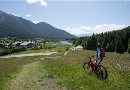
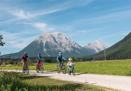
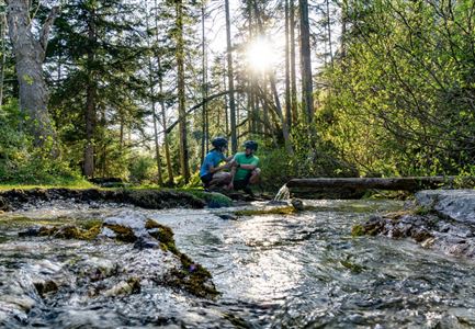
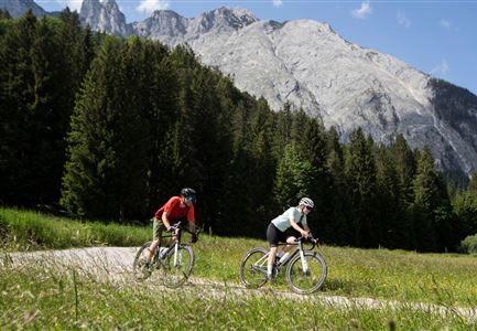
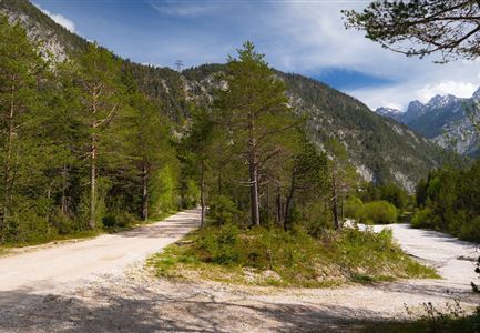
The route starts at the parking area Salzbach (P3-5), from there it goes along the river through Oberleutasch over the individual hamlets to Weidach, the "village centre" of the magnificent Leutasch Valley, then to Ahrn and along the Achweg in the direction of Unterleutasch, where there is a beautiful alternative (+ 285 m) to the Burggraben district via Inn Brücke, which also offers a great view (photo point) into the Leutasch Valley. Alternatively, you can take a break at the Gasthaus zur Mühle. From Burggraben it is a few hundred metres to the right on the road to Schanz in the immediate vicinity of the spirit gorge and the border to Bavaria (Mittenwald). The route follows the crystal clear river Leutascher Ache, which invites you to take breaks on many places. The idyllic route is embedded between the river and the mountains of  Arnspitzen and Achterköpfe. Most of the way is under shady trees, so this route is also suitable for hot summer days. To get back to the starting point / parking lot, take the same way back​.

Features & Characteristics

Start Point

Leutasch parking Salzbach (P5)

End Point

Leutasch Geisterklamm (gorge)

Similar Tour Suggestions

Erfrischende Rast an den Isarquellen

Cycling

Biketour No. 578 Hinterautal-Isarursprung-Kastenalm

Length

28,30 km

Duration

02:30 h

Uphill

327 hm

Downhill

324 hm

Altitude

1220 hm

Difficulty

Easy

Gravelbiken in der Region Seefeld (3).jpg

Cycling

Radwanderroute: Scharnitz - Seefeld - Reith

Length

18,50 km

Duration

01:45 h

Uphill

320 hm

Downhill

140 hm

Altitude

1200 hm

Difficulty

Easy

Radfahrerinnen bei herbstlichem Wetter auf dem Weg zur Gaistalalm (1).jpg

Cycling

Biketour Gaistalalm alpine hut

Length

4,00 km

Duration

00:30 h

Uphill

136 hm

Downhill

30 hm

Altitude

1356 hm

Difficulty

Easy

Familie beim Radfahren - Leutasch

Cycling

Biketour family adventure trail

Length

8,70 km

Duration

00:45 h

Uphill

3 hm

Downhill

76 hm

Altitude

1205 hm

Difficulty

Easy

Scharnitz - Wanderung Dorfrunde - Weg bei Gießenbach (1).jpg

Cycling

Radwanderroute: Reith - Seefeld - Scharnitz

Length

18,50 km

Duration

01:45 h

Uphill

140 hm

Downhill

320 hm

Altitude

1200 hm

Difficulty

Easy

Gravelbiken in der Region Seefeld (12).jpg

Cycling

Gravelbiketour Hinterautal

Length

53,40 km

Duration

05:00 h

Uphill

590 hm

Downhill

578 hm

Altitude

1220 hm

Difficulty

Easy

Tillfussalm Seefeld (1).jpg

Cycling

Biketour Tillfussalm alpine hut

Length

9,60 km

Duration

01:20 h

Uphill

174 hm

Altitude

1358 hm

Difficulty

Easy

Gravelbiker auf dem Radweg zwischen Mittenwald und Scharnitz im Sommer

Cycling

Biketour Scharnitz - Mittenwald (Bavaria) - Scharnitz

Length

15,10 km

Duration

01:45 h

Uphill

48 hm

Downhill

52 hm

Altitude

963 hm

Difficulty

Easy